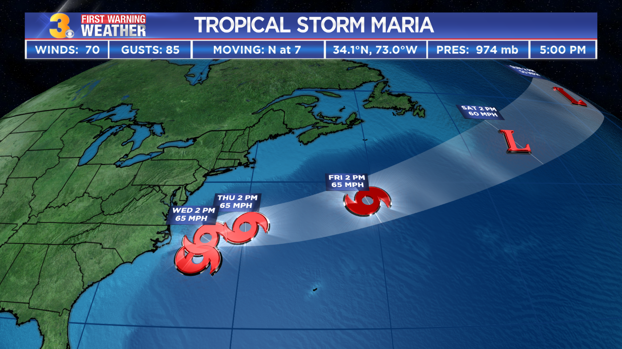
MIAMI, Fla. – Maria has weakened to a Category 2 hurricane, according to the National Hurricane Center.
The NHC says Maria will be moving well east of the United States southeast coast during the next two days.
Maria is about 475 miles SSE of Cape Hatteras, North Carolina and is expected to move towards the north though Tuesday. Maria is forecast to remain offshore but near the Outer Banks by the middle of the week. Tidal flooding is possible Tuesday night and Wednesday.
The National Hurricane Center also said that tropical storm or hurricane watches may be needed for portions of the Carolina and Mid-Atlantic coast on Sunday.
A turn toward the north is expected this evening, and a northward motion with a decrease in forward speed is forecast to continue through Monday.
Maria made landfall near Yabucoa, Puerto Rico as a strong category 4 storm around 6:15 a.m. Wednesday.
The storm is moving north at nine mph with maximum sustained winds are around 105 mph with higher gusts.
Hurricane-force winds extend outward up to 60 miles from the center and tropical-storm-force winds extend outward up to 240 miles.
Swells generated by Maria are increasing along portions of the southeastern United States coast and will be increasing along the Mid-Atlantic coast Sunday.
Swells also continue to affect Puerto Rico, the Virgin Islands, the northern coast of Hispaniola, the Turks and Caicos Islands, and the Bahamas. These swells are likely to cause life-threatening surf and rip current conditions.
Location: 28.7°N 72.9°W
Moving: N at 9 mph
Min pressure: 947 mb
Max sustained: 105 mph
Interactive Radar | Latest Forecast | Warnings


