

Chief Meteorologist David Aldrich's First Warning Forecast
Hello Hampton Roads & Northeast North Carolina,
It is now time to say goodbye to highs in the 70s. Yes, it was 70° in Norfolk on both Friday and Saturday, and mid 70s today, but the BIG drop in temperature is just around the corner and will begin to FALL starting on Monday. Expect a few more showers & storms tonight, a 40% chance, as another cold front moves through the 757. Lows tonight should drop into the upper 40s. I left a 30% chance of rain early morning on Monday, but all that activity should be gone before 8 AM, in most cases.
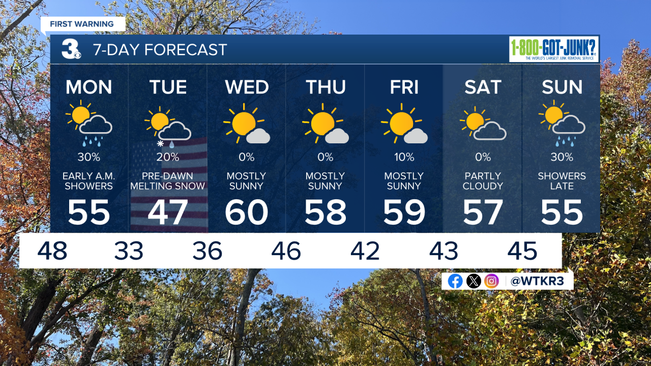
Most of Monday appears partly cloudy and very cool with daytime temperatures in the mid 50s. Our maximum or high temperature on Monday in the lower 60s, however, should arrive just after midnight, which is why I call it an "upside down" day, due to the passage of the cold front.
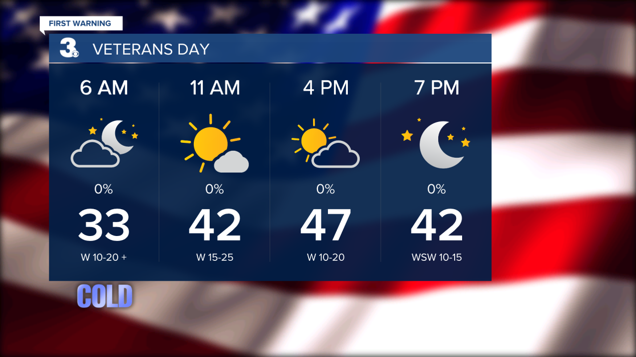
The chance of some wet snow showers & flurries, mixing with some rain, will be possible late Monday night into the pre-dawn hours of Veterans Day. I am not expecting any accumulation, but what does fall could briefly appear on cold car rooftops and even some grassy surfaces.
On Veterans Day, temperatures should be near 32 degrees, hence, a Freeze Warning is in effect from 10 PM Monday to 9 AM Veterans Day.
Meanwhile, blustery wind chills in the 20s and 30s should adequately describe Veterans Day this Tuesday.


Weather updates on social media:
Facebook: AldrichWeather
Instagram: @davidaldrichweather
X (Twitter): @AldrichWeather
