


Meteorologist Myles Henderson’s First Warning Forecast
Climbing to the 70s this week. A soggy and windy midweek. Dropping to the 50s to end the week.
Warming to near 70 today with a mix of partly to mostly cloudy skies. Scattered showers will move in this afternoon to evening. Winds will pick up today, SW at 10 to 20 with gusts to 30 mph.

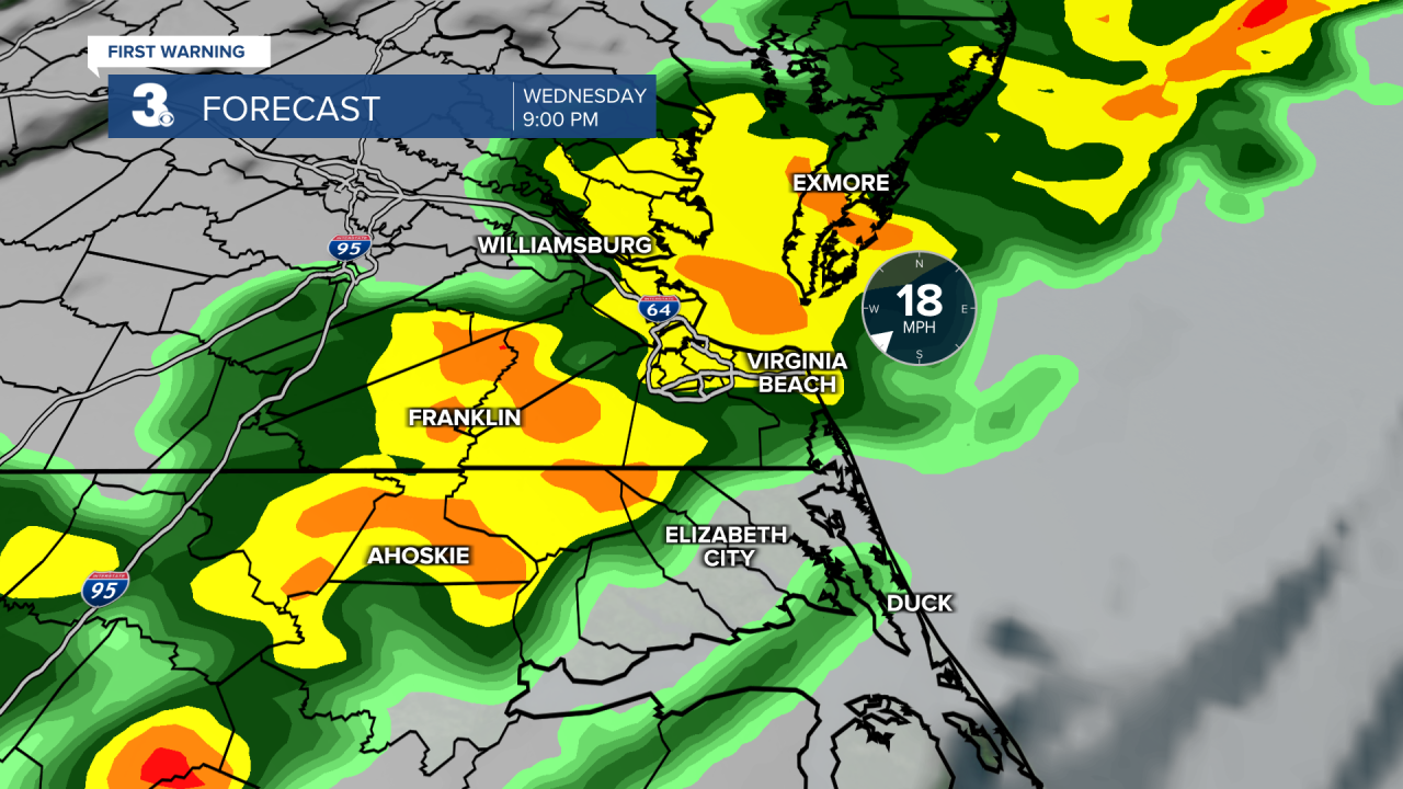
A warm and windy Wednesday. Highs will reach the mid 70s with strong SW winds gusting to near 40 mph. We will see a mix of clouds during the day with a few showers possible. Expect a bigger rain chance after sunset as a cold front moves through from west to east.
We will return to sunshine on Thursday, but cooler air will move in behind the cold front. Highs will struggle to reach 50 on Thursday. It will still be breezy in the morning, but winds will relax through the day.
Today: Mix of Clouds, Windy. Highs near 70. Winds: SW 10-20 G30
Tonight: Showers, Windy. Lows in the upper 50s. Winds: SW 10-20 G30
Tomorrow: Mostly Cloudy, Windy. Highs in the mid 70s. Winds: SW 20-30 G40
Weather & Health
Pollen: Medium-High (Juniper, Elm, Maple)
UV Index: 3 (Moderate)
Air Quality: Good (Code Green)
Mosquitoes: Low
Weather updates on social media:
Facebook: MylesHendersonWTKR
Instagram: @MylesHendersonWTKR
X (Twitter): @MHendersonWTKR
