


Meteorologist Myles Henderson’s First Warning Forecast
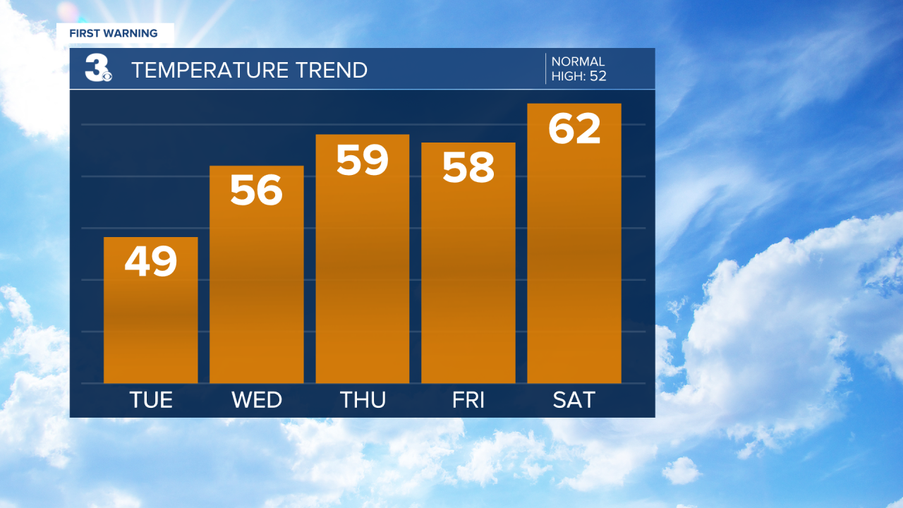
Gloomy start, clearing skies…We will still see plenty of clouds this morning with areas of fog and drizzle possible. Clouds will slowly clear out as we go through the day. Highs will warm to the upper 40s, warmer than yesterday but still below normal for this time of year.

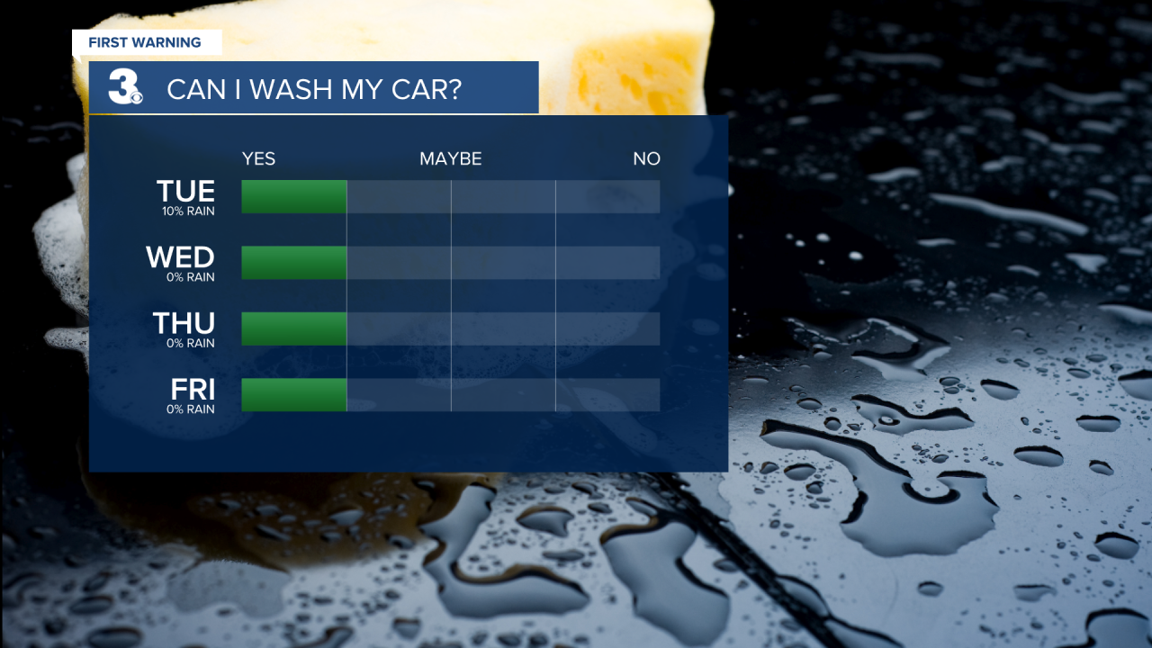
The second half of the week will be very nice. Expect sunny skies with highs in the mid to upper 50s Wednesday, Thursday, and Friday. Highs will climb to the 60s on Saturday with mostly sunny to partly cloudy skies.
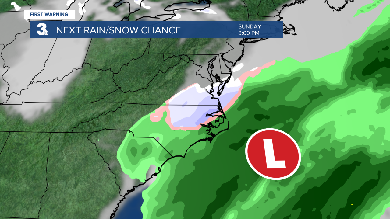
We are keeping a close eye on Sunday. A cold front is set to move through the region Saturday night to Sunday and an area of low pressure will track across the Southeast on Sunday. This could bring us another chance for a rain/snow mix to end the weekend. Obviously, a lot can change over the next several days, so be on the lookout for updates throughout the week.
Today: Clearing Skies. Highs in the upper 40s. Winds: NW 5-10
Tonight: Mainly Clear. Lows in the low 30s. Winds: SW 5-10
Tomorrow: Mostly Sunny. Highs in the mid 50s. Winds: S 5-10
Weather updates on social media:
Facebook: MylesHendersonWTKR
Twitter: @MHendersonWTKR
Instagram: @MylesHendersonWTKR
