




Meteorologist Myles Henderson’s First Warning Forecast
Another warming trend this week with several days in the 70s. Tracking showers to end the work week.
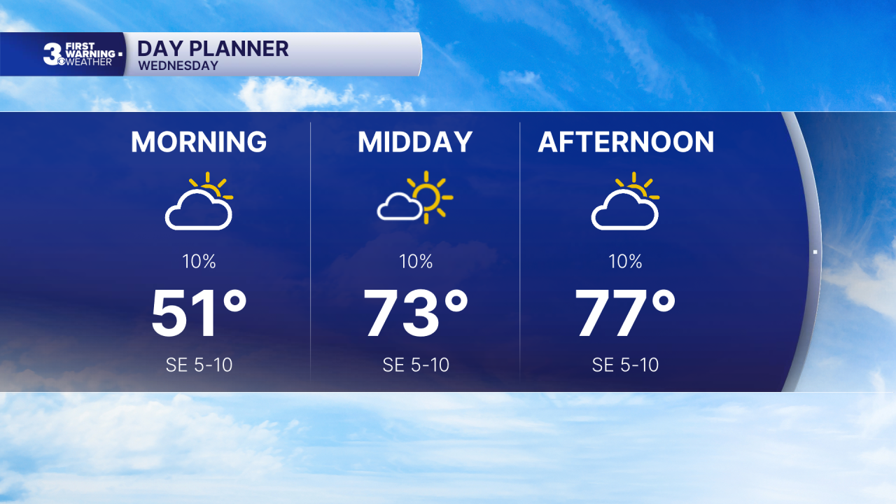
Watch out for areas of fog this morning. We will see a mix of sun and clouds today with highs in the mid to upper 70s, 10+ degrees above normal for this time of year.
Expect a mix of partly to mostly cloudy skies on Thursday with a spotty shower possible. Highs will reach the upper 70s to near 80.
Rain moves in for Friday with a cold front. Expect mostly cloudy skies with showers and isolated storms. Highs will return to the mid 70s Friday.
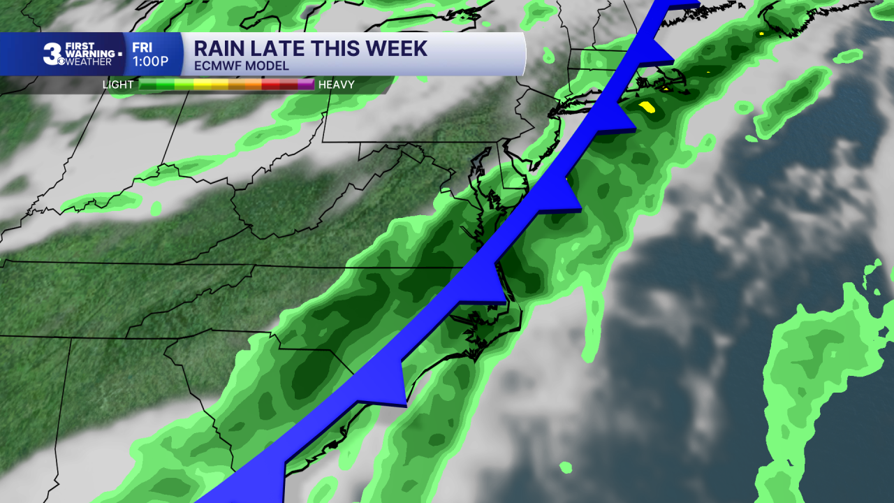
Cooler and less humid air moves in this weekend, behind the cold front. Highs will drop to the upper 60s on Saturday and the mid 60s on Sunday. Expect a nice mix of sun and clouds with lower rain chances.
Today: Sun & Clouds. Highs in the upper 70s. Winds: SE 5-10
Tonight: Mix of Clouds. Lows in the low 60s. Winds: S 5-10
Tomorrow: Mix of Clouds. Highs in the upper 70s. Winds: S 5-10
Weather & Health
Pollen: Low (Ragweed)
UV Index: 4 (Medium)
Air Quality: Good (Code Green)
Mosquitoes: Moderate
Tropical Update
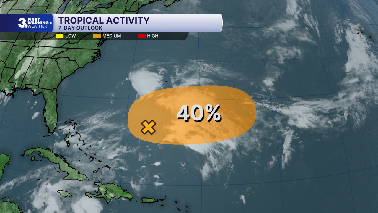
An area of low pressure is expected to form over the next day or so along a weakening front a few hundred miles south of Bermuda. This system could gradually acquire some subtropical characteristics late this week or this weekend while it moves slowly eastward over the western and central subtropical Atlantic.
* Formation chance through 48 hours: Low (20%)
* Formation chance through 7 days: Medium (40%)
Weather updates on social media:
Facebook: MylesHendersonWTKR
Instagram: @MylesHendersonWTKR
