


Meteorologist Myles Henderson’s First Warning Forecast
A sunny and fall-like stretch to end the week. A quick warming trend this weekend.
Mostly sunny this afternoon with highs in the low 60s. Still breezy but not as strong or gusty as yesterday. A few clouds with lows falling to the 40s and 30s tonight.

Highs will return to near 60 tomorrow with lots of sunshine and light wind.
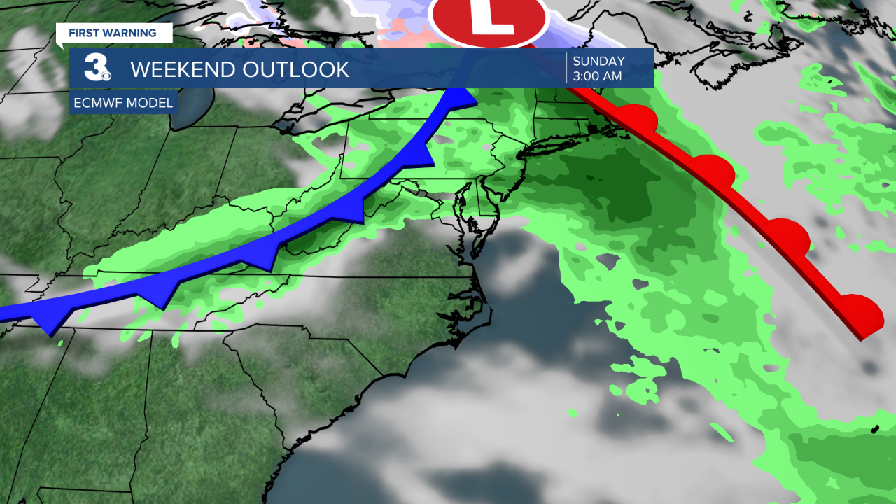
A quick warming trend over the weekend. Highs will jump from the low 60s on Saturday to the low 70s on Sunday. Expect a mix of sun and clouds with a spotty shower possible as a series of fronts track across the region.
Cooler air will return for the next week. Highs will drop to the upper 50s beginning Monday.
Today: AM Clouds, PM Sun, Windy. Highs in the low 60s. Winds: NW 10-20 G25
Tonight: A Few Clouds. Lows near 40. Winds: NW 5-15
Tomorrow: Mostly Sunny. Highs near 60. Winds: NW 5-10
Weather & Health
Pollen: Low
UV Index: 2 (Low)
Air Quality: Good (Code Green)
Mosquitoes: Low
Tropical Update
No tropical activity at this time
Weather updates on social media:
Facebook: MylesHendersonWTKR
Instagram: @MylesHendersonWTKR
