




Meteorologist Myles Henderson’s First Warning Forecast
A beautiful stretch of days through midweek. Warmer with more humidity to end the week.
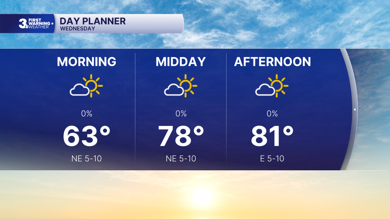
Today will look and feel a lot like yesterday. Expect mostly sunny skies with highs in the low 80s and low humidity (for September).
Temperature and humidity will start to increase for the end of the week. Highs will warm to the mid 80s on Thursday and the upper 80s on Friday. An isolated shower/storm is possible Friday as a cold front moves through the region.
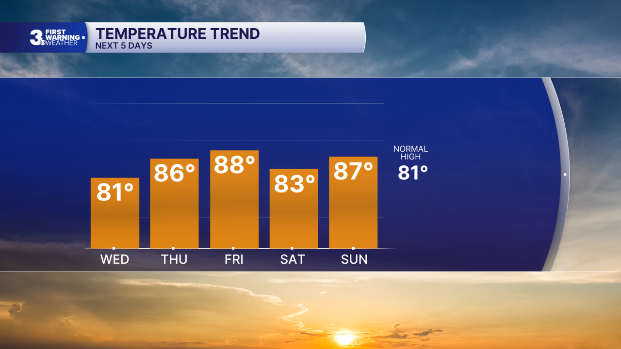
The weekend looks nice. Expect partly cloudy skies with a slim chance for a shower. Highs will dip to the low/mid 80s on Saturday and climb to the mid/upper 80s on Sunday.
Bigger rain chances move in for the start of next week.
Today: A Few Clouds. Highs in the low 80s. Winds: NE/E 5-10
Tonight: Mainly Clear. Lows in the low 60s. Winds: SE/S 5-10
Tomorrow: A Few Clouds. Highs in the mid 80s. Winds: S 5-10
Weather & Health
Pollen: Medium-High (Ragweed)
UV Index: 7 (High)
Air Quality: Good (Code Green)
Mosquitoes: Extreme
Tropical Update
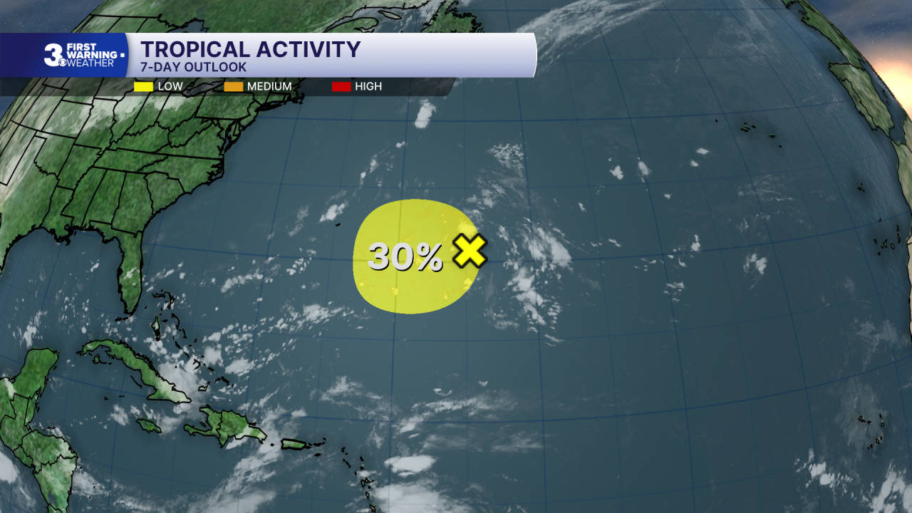
Watching a trough of low pressure located about 600 miles east of Bermuda.Environmental conditions could become a little more conducive for development in a couple of days while the system moves slowly west to WNW over the subtropical Atlantic.
* Formation chance through 48 hours: Low (10%)
* Formation chance through 7 days: Low (30%)
Weather updates on social media:
Facebook: MylesHendersonWTKR
Instagram: @MylesHendersonWTKR
