



Meteorologist Myles Henderson’s First Warning Forecast
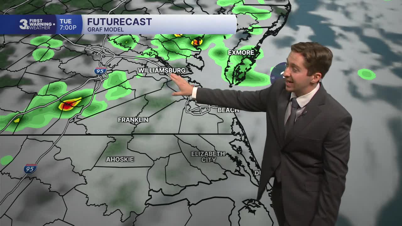
More heat and humidity with another round of storms today. Several days with sunshine and more comfortable to end the work week.
Warming to the upper 80s today, closer to normal for this time of year. It will feel more like the mid 90s with the humidity. Most of the day will be partly cloudy with a S/SW breeze picking up. Showers and storms will develop late in the day (mainly after 4 PM). Strong to severe storms are possible with gusty winds, localized flooding, and isolated tornadoes.

Still warm tomorrow with highs in the mid to upper 80s. We will see a return to sunshine.
The weather looks great for the end of the work week. Highs will settle in the mid 80s with lower humidity. We will see mostly sunny to partly cloudy skies with low rain chances.

Today: Late-Day Storms. Highs in the upper 80s. Winds: S/SW 5-15
Tonight: Showers & Storms. Lows in the low 70s. Winds: SW/W 10-15
Tomorrow: Mostly Sunny. Highs in the upper 80s. Winds: NW 5-10
Weather & Health
Pollen: Low-Medium (Grasses)
UV Index: 4 (Medium)
Air Quality: Moderate (Code Yellow)
Mosquitoes: Very High
Tropical Update
No tropical activity at this time
Weather updates on social media:
Facebook: MylesHendersonWTKR
Instagram: @MylesHendersonWTKR
