

Derrah Getter's First Warning Forecast
Temperatures warm back up to normal with highs near 90 for several days.
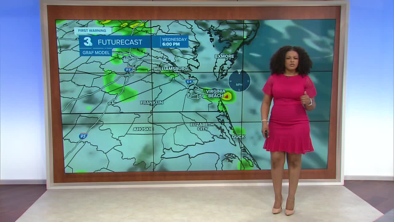
This evening partly to mostly cloudy skies prevail. The showers that we did see earlier fade overnight. Lows will be near 70.

Monday morning will be mild with partly cloudy skies. Isolated storms bubble up in the afternoon. High temperatures will still be below normal in the low 80s.

We gradually warm up the rest of the week. Highs reach near 90 mid to late week. Humidity climbs too so it will feel like the mid 90s. Spotty showers and storms will be possible each day.

2025 Atlantic Hurricane Season Update
As of 8 pm
We're monitoring two areas in the tropics.
The first area is a well-defined area of low pressure about 100 miles southeast of the Cabo Verde Islands. A tropical depression or storm is likely to form mid to late this week. The system is moving west-northwestward at 15 to 20 mph.
Formation chance through 48 hours...Medium...60%
Formation chance through 7 days...High...90%
The second area is a group of disorganized showers and storms associated with a trough of low pressure. Some gradual development is possible over the next week.
Formation chance through 48 hours...Low...10%
Formation chance through 7 days...Low...20%

Let's connect on social media!
Forecaster Derrah Getter:
For weather updates on Facebook: HERE
For weather updates on X: HERE
Follow me on Instagram: HERE
Check out the Interactive Radar on WTKR.com: Interactive Radar
