

Derrah Getter's First Warning Forecast
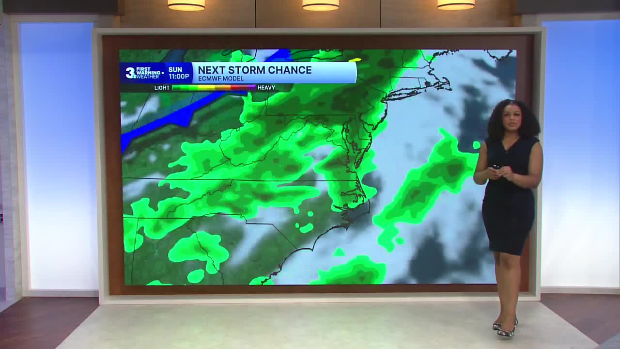
This evening, scattered storms move through the region ahead of an approaching cold front. Lows tonight will be in the mid 70s.
We get a brief break from the heat and humidity on Monday and Tuesday. Highs will be in the upper 70s to mid 80s.

Temperatures climb to near 100 degrees by Thursday. Heat index values will be near 110 degrees.

Spotty shower and storm chances linger throughout the week. Though it won’t be a washout, scattered showers and storms will be possible on Juneteenth. Isolated shower chances remain over the upcoming weekend.

2026 Atlantic Hurricane Season Update:
A trough of low pressure located over northeastern Mexico is producing disorganized showers and thunderstorms. Development isn’t expected during the next couple of days while the trough remains inland and moves into southern Texas. The system is forecast to move northeastward and re-emerge over the Gulf late Tuesday-Wednesday.

Formation chance through 48 hours: low, near 0%
Formation chance through 7 days: low, 30%
Let's connect on social media!
Forecaster Derrah Getter:
For weather updates on Facebook: HERE
For weather updates on X: HERE
Follow me on Instagram: HERE
Check out the Interactive Radar on WTKR.com: Interactive Radar
