


Meteorologist Myles Henderson’s First Warning Forecast
Building heat and humidity to end the week. Tracking storms for the weekend.
Another nice day but a step warmer and more humid than yesterday. Highs will reach the mid 80s today, closer to normal for this time of year. Look for a mix of sun and clouds throughout the day.

More heat and humidity tomorrow with highs in the low 90s. It will feel more like the upper 90s with the humidity. Expect a mix of sun and clouds with an isolated shower/storm possible, mainly in the afternoon to evening.

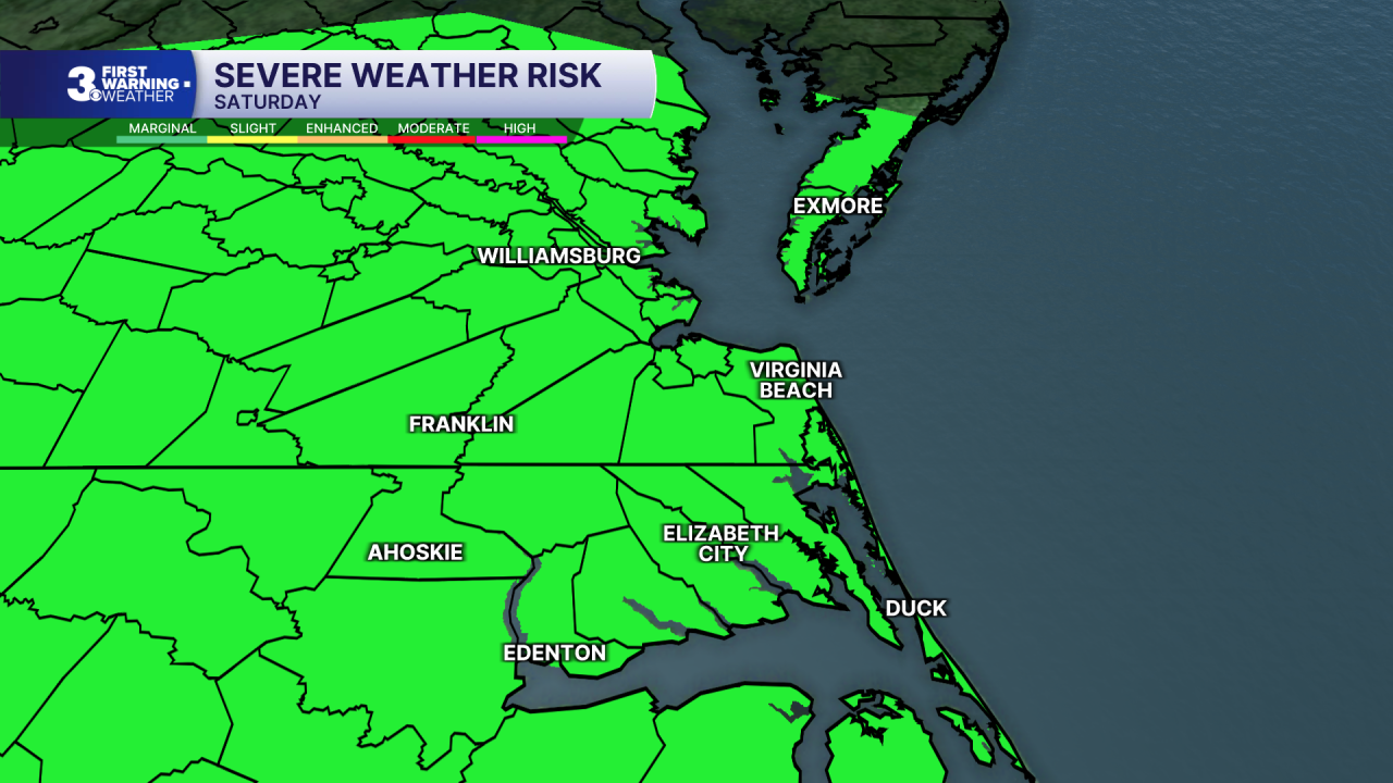
There is a bigger chance for rain and storms on Saturday as a cold front moves in. Expect partly to mostly cloudy skies with scattered showers and storms. Some storms could be strong to severe. It will still be hot and humid with an afternoon heat index near 100.
A few showers/storms could linger for Sunday. Highs will drop to the mid 80s, but it will still be humid. We should get a slight break in the heat and humidity early next week.
Today: Sun & Clouds. Highs in the mid 80s. Winds: S 5-15
Tonight: A Few Clouds. Lows bear 70. Winds: S 5-15
Tomorrow: Sun & Clouds. Highs in the low 90s. Winds: SW 5-15
Weather & Health
Pollen: Low-Medium (Grasses)
UV Index: 8 (Very High)
Air Quality: Good (Code Green)
Mosquitoes: Extreme
Tropical Update
No tropical activity at this time
Weather updates on social media:
Facebook: MylesHendersonWTKR
Instagram: @MylesHendersonWTKR
