



Derrah Getter's First Warning Forecast
This evening an air quality alert is in effect until midnight. Outdoor time should be limited.

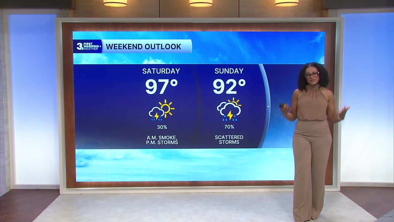
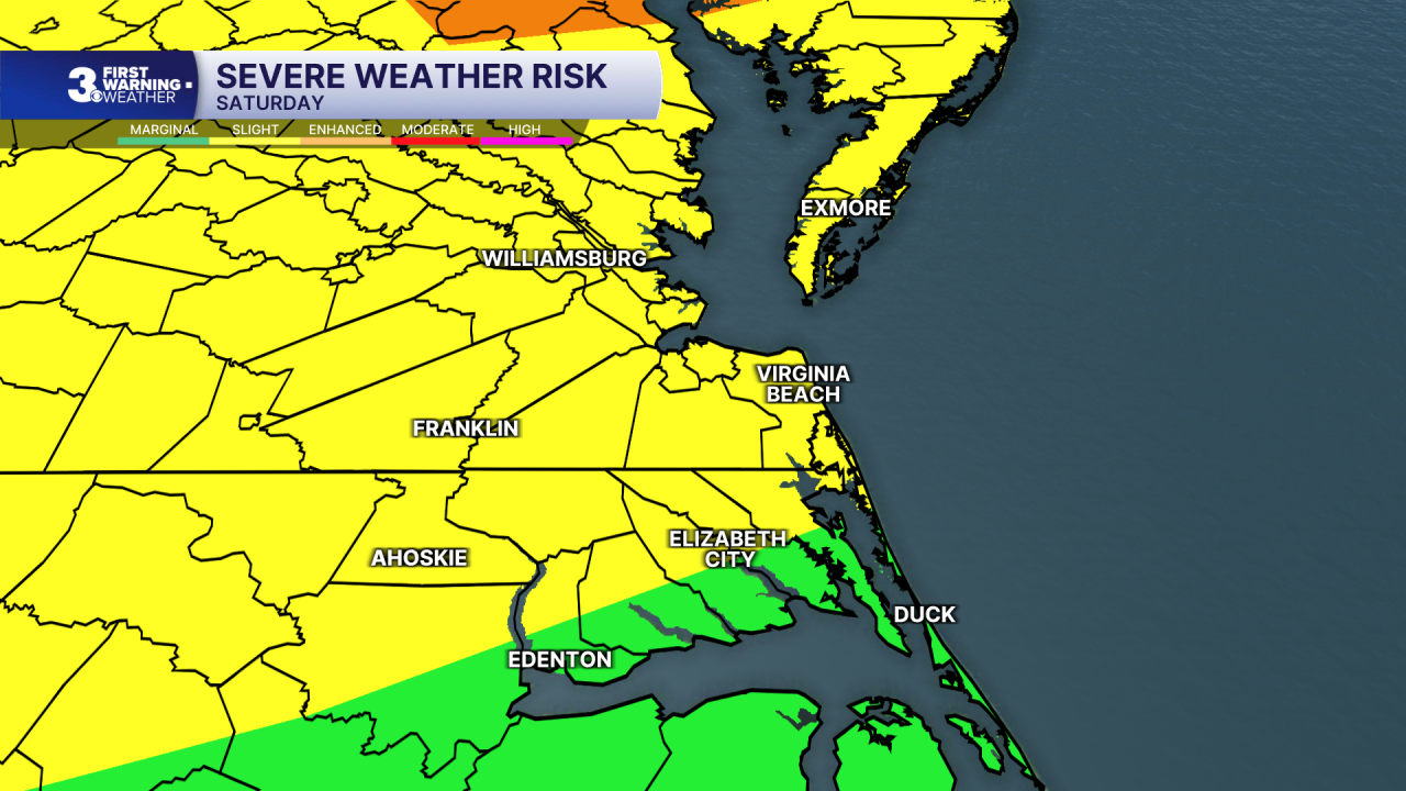
Our pattern changes Saturday, which will allow for the near-surface smoke to clear. Highs will be in the mid to upper 90s with heat index values around 105 degrees. An approaching cold front will bring isolated storm chances Saturday evening. A level 2 threat is in effect for the possibility of damaging winds and heavy downpours.
Sunday won’t be as hot with highs in the low 90s and greater storm chances in the afternoon and evening. Strong storms will be capable of producing damaging wind gusts.

Highs next week will be in the 80s and 90s with daily chances for afternoon showers and storms.

2026 Atlantic Hurricane Season Update:
A large area of showers and thunderstorms over the eastern Gulf is associated with a trough of low pressure. Some gradual development is possible while it meanders northward, bringing heavy rain to portions of the Florida west coast during the next several days.
Formation chance through 48 hours: low,10%
Formation chance through 7 days: low, 30%

Let's connect on social media!
Forecaster Derrah Getter:
For weather updates on Facebook: HERE
For weather updates on X: HERE
Follow me on Instagram: HERE
Check out the Interactive Radar on WTKR.com: Interactive Radar
