

Derrah Getter's First Warning Forecast
Scattered showers move out by the afternoon as temperatures plunge throughout the day.
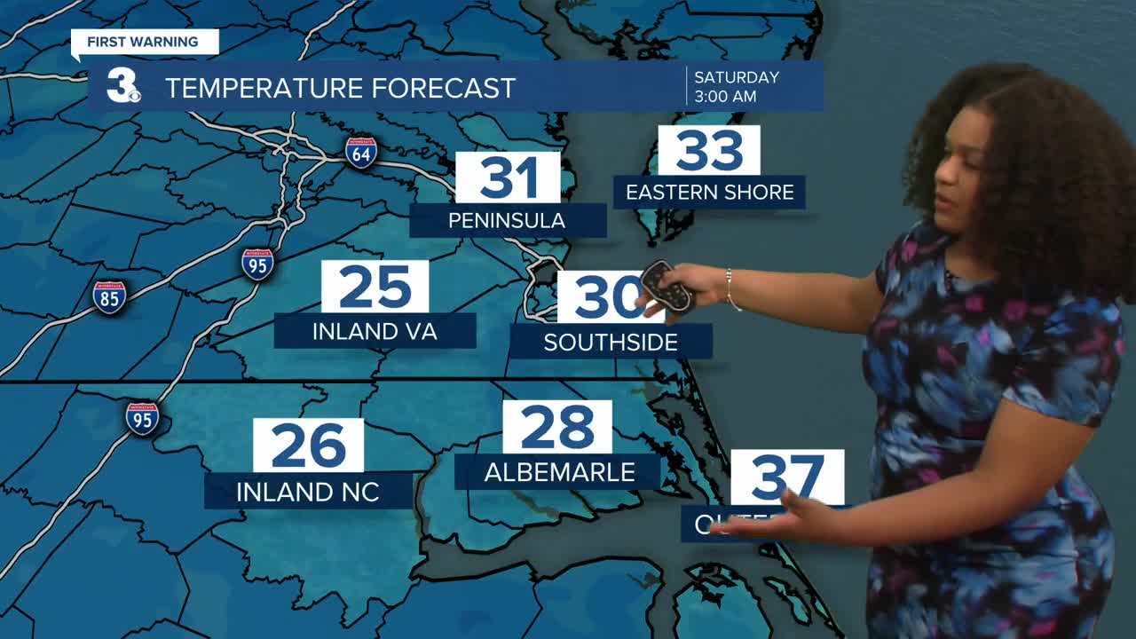
Highs will reach the mid 60s in the morning but fall throughout the rest of the day. By the afternoon, we’ll be in the upper 40s. Skies clear out and will be mostly clear tonight with lows in the 30s.

Saturday will be bright and sunny with highs in the upper 40s.On Sunday, winter officially begins. Highs reach near 60, but a cold front moves through pushing highs back into the 40s early next week.

Christmas Eve and Christmas Day look to be mild. There’s a low chance of a few spotty showers. Temperatures during the day will be in the low to mid 50s.

Let's connect on social media!
Forecaster Derrah Getter:
For weather updates on Facebook: HERE
For weather updates on X: HERE
Follow me on Instagram: HERE
Check out the Interactive Radar on WTKR.com: Interactive Radar
