

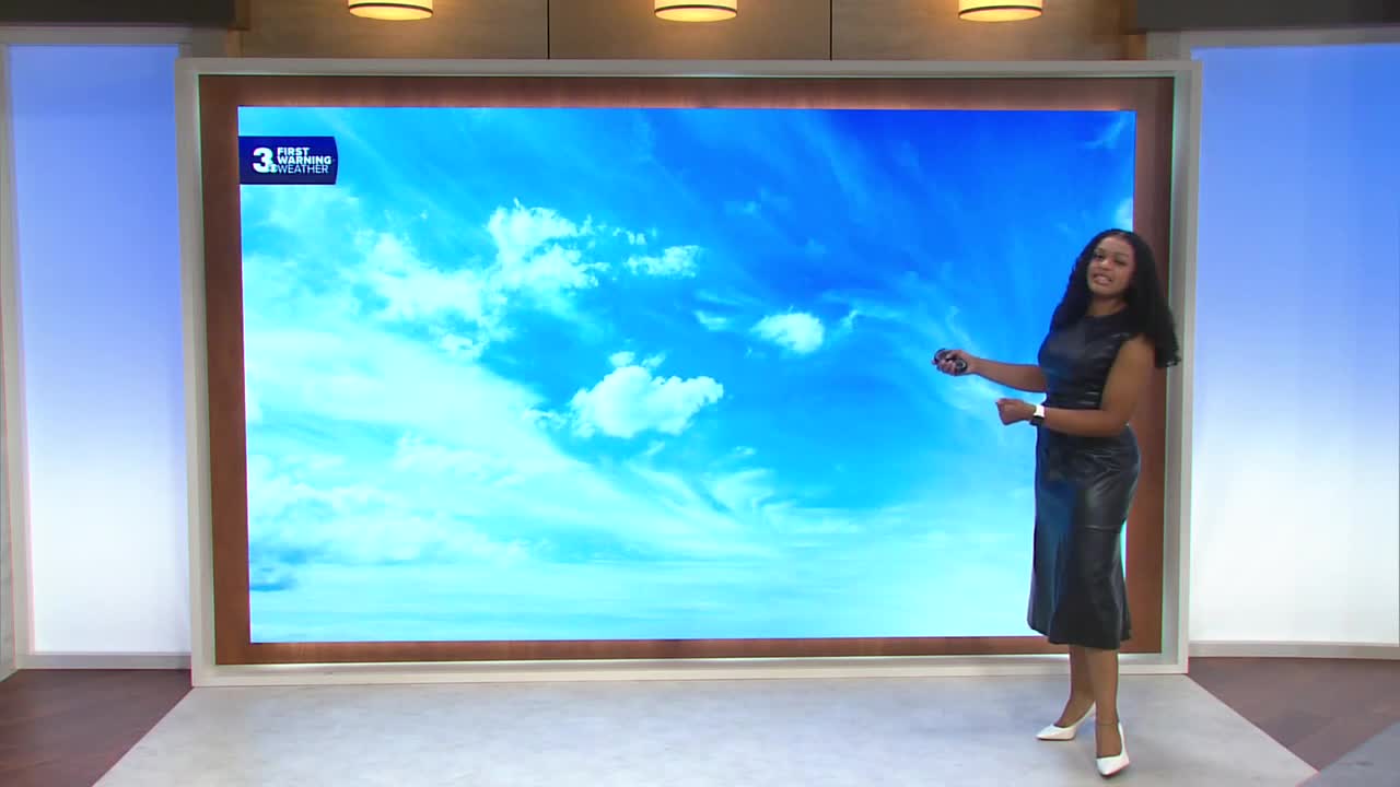


Derrah Getter's First Warning Forecast
This evening, scattered showers and thunderstorms persist. Flash flood warning remain in effect until 10 pm. Lows will be in the upper 60s and low 70s. The storm system will push out overnight, leading to clearer conditions Sunday.

Sunday afternoon high temperatures will be in the mid to upper 80s. Skies will be partly cloudy to mostly sunny. Spotty showers will be possible, but rain chances will be significantly lower.
Drier conditions return just in time for the first day of school on Monday. Highs will be in the mid 80s with plenty of sunshine.
Shower and storm chances increase mid to late week. Highs will remain near normal.

2026 Atlantic Hurricane Season Update:
We’re monitoring three areas in the tropics:

A tropical wave is forecast to move off the west coast of Africa early next week. An area of low pressure could form. Environmental conditions are marginally favorable for development, and a tropical depression could form mid to late next week.
Formation chance through 48 hours...low...near 0%
Formation chance through 7 days...medium...40%
A trough of low pressure located over the central Atlantic a few hundred miles east of Bermuda is producing disorganized showers and thunderstorms. Development of this system, if any, will likely be slow to occur.
Formation chance through 48 hours...low...10%
Formation chance through 7 days...low...30%
A strong non-tropical area of low pressure is located west of Europe. This system could take on tropical characteristics, but opportunities for development are diminishing.
Formation chance through 48 hours...low...20%
Formation chance through 7 days...low...20%
Let's connect on social media!
Meteorologist Derrah Getter:
For weather updates on Facebook: HERE
For weather updates on X: HERE
Follow me on Instagram: HERE
Check out the Interactive Radar on WTKR.com: Interactive Radar
