

Derrah Getter's First Warning Forecast
Drier and brighter conditions return today.
High temperatures this afternoon reach the upper 70s and low 80s. We’ll see more sun than clouds as skies continue clearing throughout the morning. Tidal flooding continues this afternoon and lingers through the upcoming weekend.

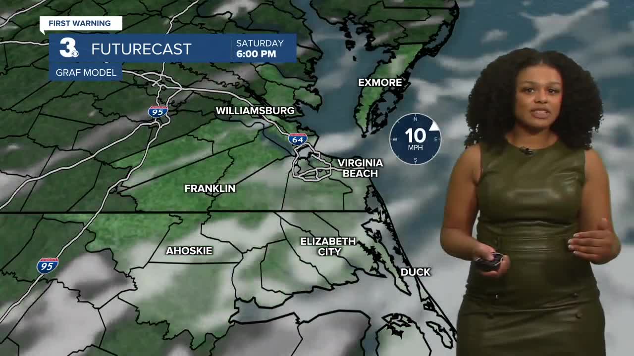
The sunny conditions extend into the weekend. High temperatures both days hover around 80 degrees. There will be a slight chance of a few spotty showers, but most locations will remain dry.

Higher rain chances return by the middle of next week as a trough of low-pressure forms along the coast. Isolated to scattered showers and storms will be possible Tuesday and Wednesday.

2025 Hurricane Season Update:
A tropical wave has formed near the west coast of Africa. It is producing disorganized showers and thunderstorms. Environmental conditions appear conducive for some gradual development. A tropical depression could form early next week.
Formation chance through 48 hours...LOW...near 0%
Formation chance through 7 days...MEDIUM...40%

Let's connect on social media!
Forecaster Derrah Getter:
For weather updates on Facebook: HERE
For weather updates on X: HERE
Follow me on Instagram: HERE
Check out the Interactive Radar on WTKR.com: Interactive Radar
