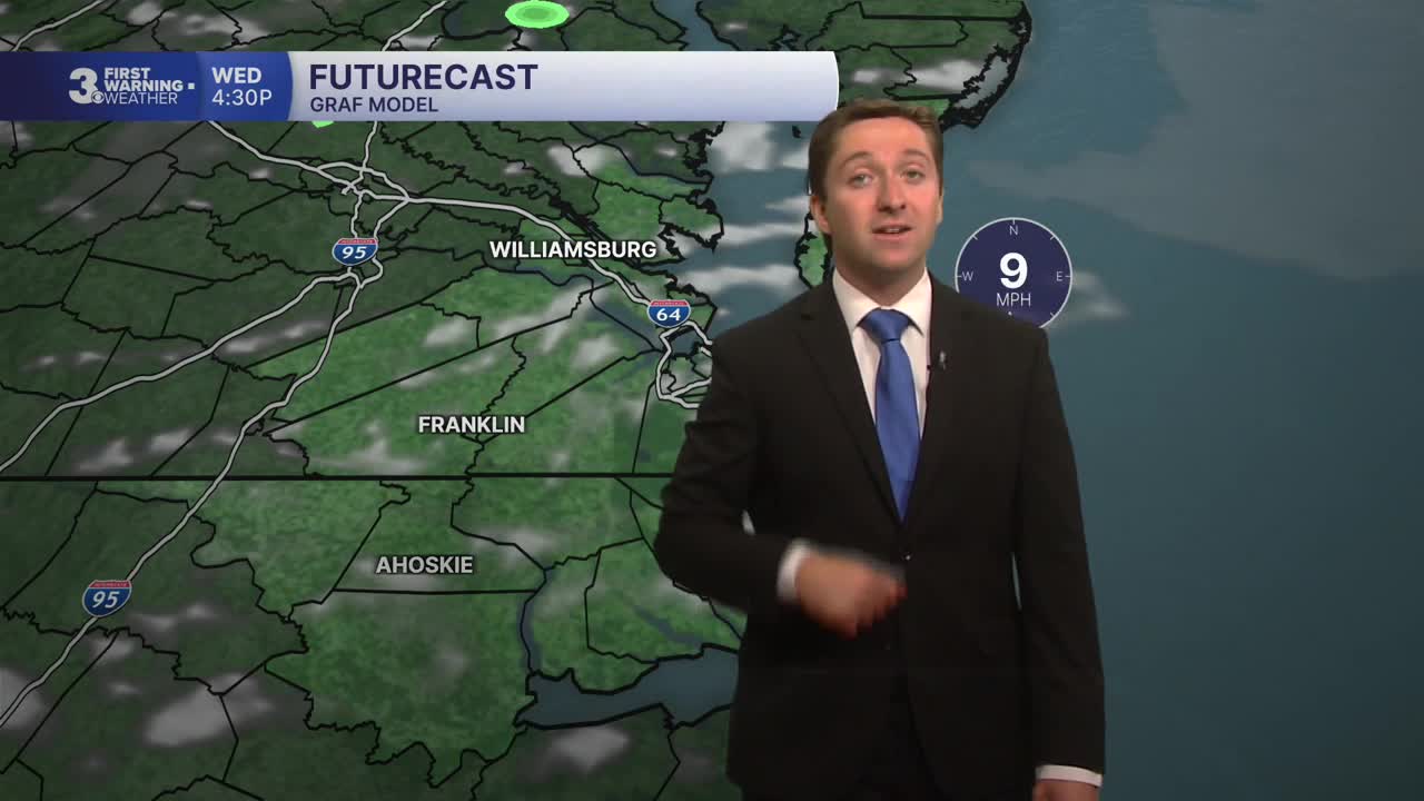


Meteorologist Myles Henderson’s First Warning Forecast
Cloudy and cooler today. Building heat and humidity later this week. Tracking storms for Friday.
Look for a mix of partly to mostly cloudy skies today with a spotty shower possible. Highs will only reach the upper 70s to near 80, a few degrees below normal for this time of year.

We will warm to near 90 tomorrow. Expect clouds in the morning with more sunshine by midday.
The heat and humidity crank up for Thursday. Highs will reach the upper 90s with an afternoon heat index near 105. We will see a mix of mostly sunny to partly cloudy skies with a spotty shower possible. The wind will also pick up with gusts to 30 mph.

Showers and storms move through Friday with a cold front. The biggest storm chances will be the in the afternoon to evening. Highs will drop to the 80s. but it will still be humid.

Today: Mix of Clouds. Highs near 80. Winds: N/E 5-10
Tonight: Mix of Clouds. Lows in the upper 60s. Winds: E/S 5-10
Tomorrow: Clearing Skies. Highs near 90. Winds: SW 5-10
Weather & Health
Pollen: Moderate (Grasses)
UV Index: 7 (High)
Air Quality: Good (Code Green)
Mosquitoes: Very High
Tropical Update
Potential Tropical Cyclone One is centered about 65 miles SE of Corpus Christi, Texas and moving NE at 6 mph. This general motion with an increase in forward speed is anticipated over the next couple of days. The disturbance should move offshore the Texas coast tonight or early Wednesday and move back inland in eastern Texas or southwestern Louisiana late Wednesday or early Thursday.
Maximum sustained winds are near 30 mph with higher gusts. The disturbance is forecast to gradually strengthen and could become a tropical storm early on Wednesday. Weakening is anticipated on Thursday after the system moves back on land.

Weather updates on social media:
Facebook: MylesHendersonWTKR
Instagram: @MylesHendersonWTKR
