


Meteorologist Myles Henderson’s First Warning Forecast
Building heat and humidity through the week. Several days in the 90s ahead.
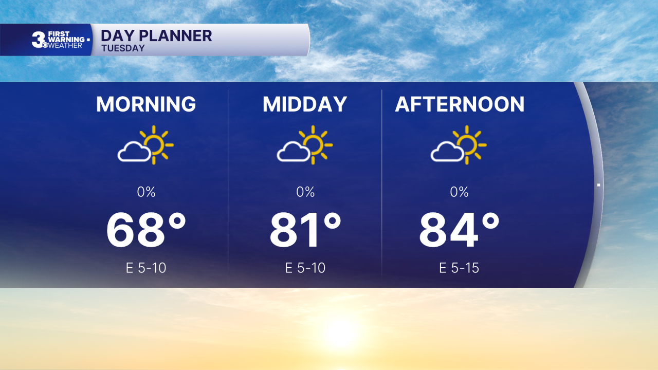
A step warmer today with highs in the mid-80s, warmer than yesterday but still below normal for this time of year. Expect mostly sunny skies with a light east wind.
Temperatures will gradually warm through the week. Highs will reach the low 90s on Wednesday and mid 90s Thursday and Friday. Afternoon heat indices will reach triple digits several days in a row, starting on Thursday.

The extreme heat and humidity continue for the holiday weekend. Expect mostly sunny to partly cloudy skies with highs in the mid to upper 90s. Afternoon heat index values will reach 105 to 110. Our next chance for showers/storms will move in Sunday to Monday.

Today: Mostly Sunny. Highs in the mid 80s. Winds: E 5-15
Tonight: Mainly Clear. Lows in the upper 60s. Winds: S 5-10
Tomorrow: Mostly Sunny. Highs in the low 90s. Winds: S 5-10
Weather & Health
Pollen: Low-Medium (Grasses)
UV Index: 10 (Extreme)
Air Quality: Good (Code Green)
Mosquitoes: Extreme
Tropical Update
Watching an area of low pressure along a frontal boundary located off the southeastern U.S. coast. Environmental conditions appear only marginally favorable for some tropical development over the next day or two as the system drifts south and then west before conditions become even less favorable later this week.
* Formation chance through 48 hours: Low (10%)
* Formation chance through 7 days: Low (10%)

Weather updates on social media:
Facebook: MylesHendersonWTKR
Instagram: @MylesHendersonWTKR
