

Derrah Getter's First Warning Forecast
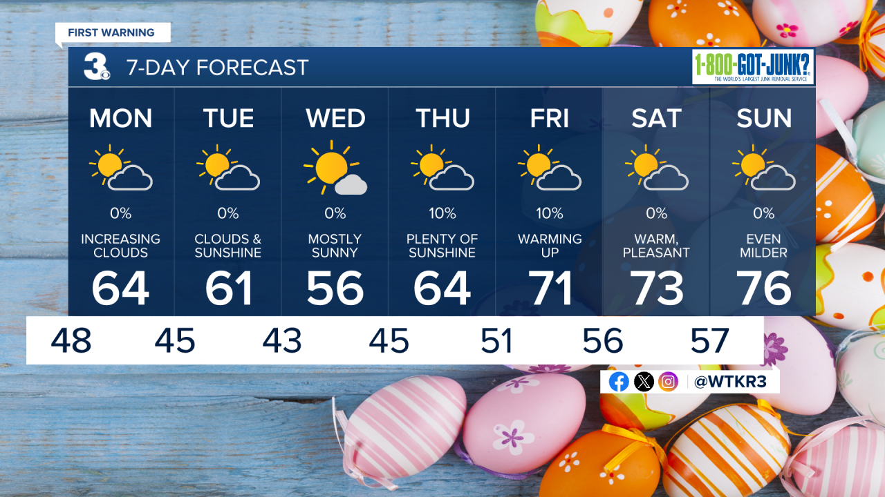
This evening, showers and storms move out. Temperatures trend much cooler tonight. Lows will be in the upper 40s.
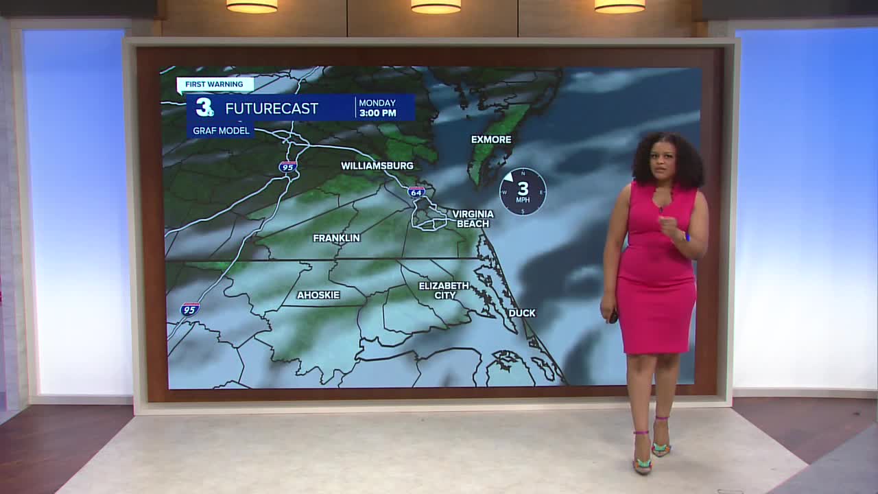
We start the day with plenty of sunshine on Monday.Highs Monday afternoon will be in the mid 60s. More clouds build in during the afternoon as another back door cold front crosses the area.

Temperatures turn even cooler midweek with lows Wednesday morning in the 30s and 40s with highs in the mid 50s.

We warm back up to the 70s by the upcoming weekend. Rain chances will remain low all week.
Let's connect on social media!
Forecaster Derrah Getter:
For weather updates on Facebook: HERE
For weather updates on X: HERE
Follow me on Instagram: HERE
Check out the Interactive Radar on WTKR.com: Interactive Radar
