

Derrah Getter's First Warning Forecast
Warmer and brighter conditions return today.
It will be noticeably warmer with high temperatures this afternoon in the mid 80s. Skies will be mostly sunny. Tonight, lows fall into the mid 60s.

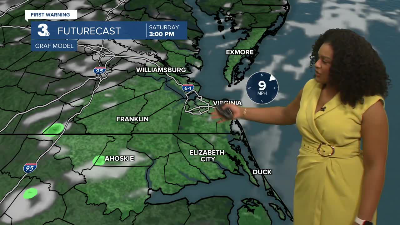
The weekend will be pleasant. Mostly dry conditions prevail on Saturday with highs near 80. A front approaches and stalls out bringing a few spotty showers to the region on Sunday.
Fall officially begins Monday at 2:19 pm. The season will be off to a warm start with temperatures in the upper 70s and low 80s next week. There will be an isolated chance of storms on Wednesday.

2025 Atlantic Hurricane Season Update:
Tropical storm Gabrielle is slowly becoming better organized. Little strengthening is expected through the end of this week. Early next week, the storm is forecast to become a category 2 hurricane by Tuesday of next week. The storm is expected to stay well away from any major land masses.

A tropical wave is forecast to move off the west coast of Africa by the end of the week. Some slow development of this system is possible as it moves WNW across the central Atlantic.
Formation chance through 48 hours...LOW...near 0%
Formation chance through 7 days...LOW...20%

Let's connect on social media!
Forecaster Derrah Getter:
For weather updates on Facebook: HERE
For weather updates on X: HERE
Follow me on Instagram: HERE
Check out the Interactive Radar on WTKR.com: Interactive Radar
