


Meteorologist Myles Henderson’s First Warning Forecast
Drying out to end the workweek. Rain returns to start the weekend. Highs in the 50s and 60s.
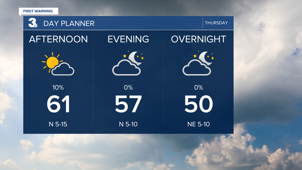
Another gloomy start with overcast skies, scattered showers, and patchy fog this morning. Clouds will start to break up and clear out as we go through the day. Highs will return to the low 60s today.
We will dip into the mid 50s on Friday with a mix of partly to mostly cloudy skies.
Another round of rain is set to move in to start the weekend. Saturday is looking like another soggy day, especially through the midday and afternoon hours. Rain could be heavy at times and a strong to severe storm is possible.

Highs will return to the low 60s this weekend. Look for clearing skies on Sunday. The wind will kick up this weekend, 10 to 20 with gusts to 30 mph.
Lots of sunshine to start next week with temperatures warming from the 50s to the 60s. It will still be windy to start the week, but winds will relax by midweek.
Today: AM Showers, PM Clearing. Highs in the low 60s. Winds: N 5-15
Tonight: Partly Cloudy. Lows in the mid 40s. Winds: NE 5-10
Tomorrow: Mix of Clouds. Highs in the mid 50s. Winds: NE 5-10
Weather & Health
Pollen: Medium (Juniper, Maple, Ash)
UV Index: 3 (Medium)
Air Quality: Good (Code Green)
Mosquitoes: Low
Weather updates on social media:
Facebook: MylesHendersonWTKR
Instagram: @MylesHendersonWTKR
X (Twitter): @MHendersonWTKR
