

Derrah Getter's First Warning Forecast
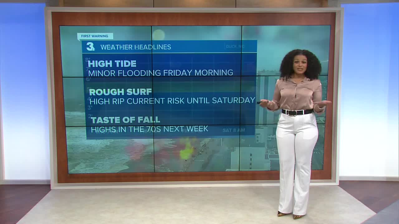
This evening's high tide will bring the highest water levels we'll see throughout this event. Moderate to major tidal flooding is expected tonight. Skies clear overnight allowing temperatures to fall into the upper 60s.


More sunshine returns Friday morning. Minor to moderate tidal flooding will persist in the morning and we'll likely see another round of nuisance flooding in the evening. High temperatures Friday reach the low 80s.

This weekend, the wind and flooding concerns subside. Temperatures will be in the mid 80s. There will be a slight chance for a few spotty storms Sunday evening.
Temperatures get warmer at the start of next week but below normal conditions return Wednesday and Thursday with highs only in the mid to upper 70s.

2025 Atlantic Hurricane Season Update:
Aside from Erin, we have three areas of development in the tropics.
The first area is located near the Leeward Islands. A tropical depression is likely to form over the weekend.
Formation chance through 48 hours...MEDIUM...50%
Formation chance through 7 days...HIGH...70%
Showers and thunderstorms associated with a tropical wave southwest of the Cabo Verde Islands have exhibited little change in organization. Environmental conditions appear moderately favorable for additional development. A short-lived tropical depression could form within the next day.
Formation chance through 48 hours...MEDIUM...40%
Formation chance through 7 days...MEDIUM...40%
A small area of low pressure located in the central Atlantic is producing a few showers and thunderstorms. Upper-level winds are only moderately conducive for development.
Formation chance through 48 hours...LOW...30%
Formation chance through 7 days...LOW...30%

Let's connect on social media!
Forecaster Derrah Getter:
For weather updates on Facebook: HERE
For weather updates on X: HERE
Follow me on Instagram: HERE
Check out the Interactive Radar on WTKR.com: Interactive Radar
