




Meteorologist Myles Henderson’s First Warning Forecast
Our fall-like stretch continues with highs in the 60s and low humidity.
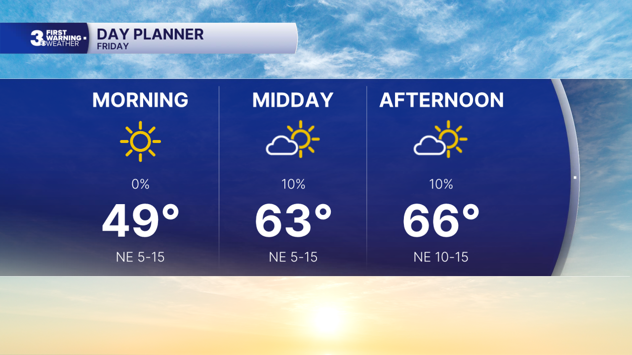
A few clouds will mix in the with sunshine today with highs in the mid 60s. A bit breezy today with a NE wind picking up, 5 to 15 mph.
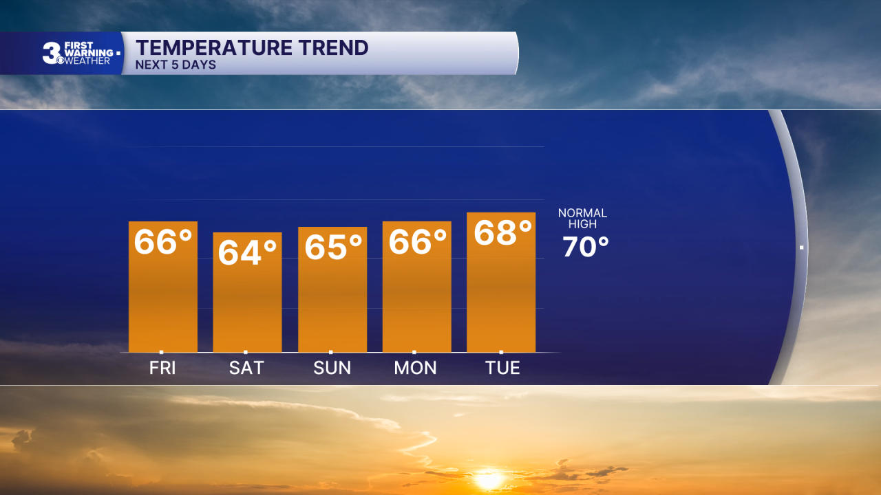
Highs will linger in the mid 60s this weekend with a nice mix of sun and clouds. Expect more clouds on Saturday and more sun on Sunday. It will still be breezy with a NE wind at 5 to 15 mph.
The nice weather sticks around for next week. Expect a mix of mostly sunny to partly cloudy skies with highs in the upper 60s to near 70, closer to normal for this time of year.
Today: A Few Clouds. Highs in the mid 60s. Winds: NE 5-15
Tonight: A Few Clouds. Lows in the low 50s. Winds: NE 5-15
Tomorrow: Sun & Clouds. Highs in the mid 60s. Winds: NE 5-15
Weather & Health
Pollen: Low-Medium (Ragweed)
UV Index: 4 (Medium)
Air Quality: Good (Code Green)
Mosquitoes: Moderate
Tropical Update
No tropical activity at this time
Weather updates on social media:
Facebook: MylesHendersonWTKR
Instagram: @MylesHendersonWTKR
