

Derrah Getter's First Warning Forecast
The clouds will continue thinning out this afternoon. Low humidity and highs in the 70s will make for a very comfortable day. There’s a slight chance of a few spotty showers but most of us will stay dry.

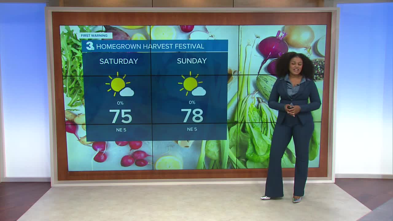
The fall like dew points continue this weekend. A strong ridge of high pressure builds over the next few days. This will lead to clear skies and low rain chances.
Temperatures and humidity will slowly rise by the middle of next week. Highs will be back in the low 80s next Tuesday. Rain chances return Wednesday.

2025 Atlantic Hurricane Season Update:
We’re watching two areas for potential development.
The first is a tropical wave that is forecast to move off the coast of Africa within the next couple of days. It is expected to interact with another disturbance in the eastern tropical Atlantic. Some slow development is possible as the system moves WNW.
Formation chance through 48 hours...LOW...near 0%
Formation chance through 7 days...LOW...20%
The second area we’re watching is an area of low pressure that may form along a frontal boundary near south Florida. Any additional development will be slow to occur as the system moves NW across the Florida Peninsula and into the Gulf.
Formation chance through 48 hours...LOW...10%
Formation chance through 7 days...LOW...10%

Let's connect on social media!
Forecaster Derrah Getter:
For weather updates on Facebook: HERE
For weather updates on X: HERE
Follow me on Instagram: HERE
Check out the Interactive Radar on WTKR.com: Interactive Radar
