

Derrah Getter's First Warning Forecast
This evening, we have the perfect setup for cooler temperatures. Mostly clear skies initially allow temperatures to fall into the upper 20s and low 30s tonight. More clouds build in by Friday morning. A few snowflakes will be possible, but most locations remain dry.

Friday afternoon, highs reach the low to mid 40s. Skies will clear up a bit right before sunset.
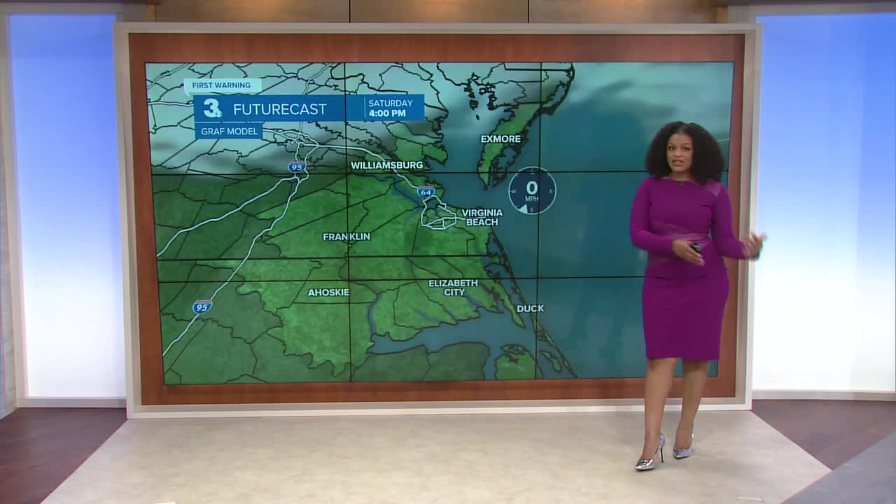
Saturday will be one of our milder days this week. Highs reach the low 50s, and we’re not expecting any precipitation.

Our next cold front arrives on Sunday morning. Temperatures will reach the low 40s before falling throughout the day. There’s a small chance of a few flurries on Sunday morning.

Next week will start out frigid with wind chill values in the teens Monday morning and high temperatures only reaching the 30s in the afternoon. Highs quickly rebound back into the 50s by the end of the week.

Let's connect on social media!
Forecaster Derrah Getter:
For weather updates on Facebook: HERE
For weather updates on X: HERE
Follow me on Instagram: HERE
Check out the Interactive Radar on WTKR.com: Interactive Radar
