


Meteorologist Myles Henderson’s First Warning Forecast
Several days of sunshine and 60s on the way. But just in case you forget it’s still February, we are tracking another chance for snow.
The second half of the week will be very nice. Expect sunny skies with highs in the mid 50s today and low 60s for Thursday and Friday, about 5 to 10 degrees above normal for this time of year. Highs will climb to the mid 60s on Saturday, the warmest day of the week. Clouds will start to build in later Saturday as our next weather maker moves in.
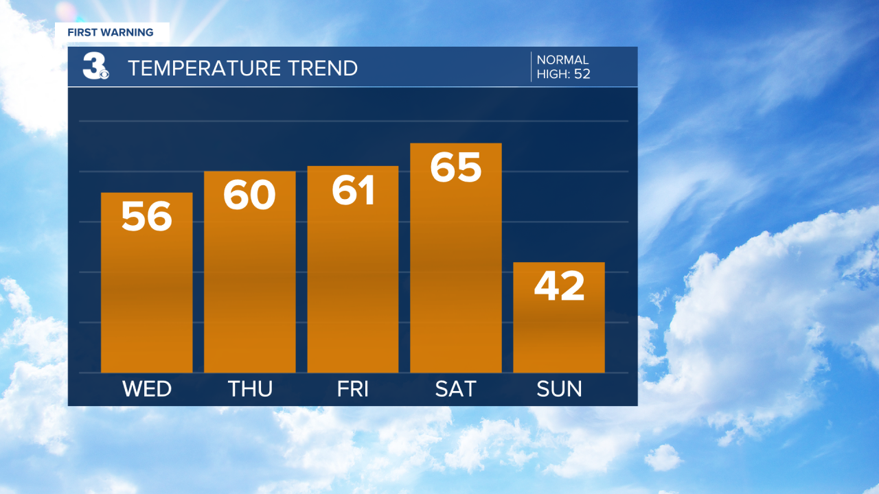
We are keeping a close eye on Sunday. A cold front is set to move through the region Saturday night to Sunday and an area of low pressure will track across the Southeast on Sunday. The cold front may not have a ton of moisture with it, but it will bring back the cold air. Highs will only reach the low 40s on Sunday, a 20+ degree cool down.
The area of low pressure will likely bring us some rain during the day Sunday. As temperatures drop to the 30s and 20s Sunday evening to night that rain could switch over to snow. Forecast models have not locked in on the exact timeline or snow totals. As of now, they are indicating a snow accumulation range from 0” to about 3”. We will continue to fine tune the timeline and totals as we get closer.

Today: Sunny, Warmer. Highs in the mid 50s. Winds: S 5-10
Tonight: Mainly Clear. Lows in the mid 30s. Winds: S 5-10
Tomorrow: Sunny, Warmer. Highs near 60. Winds: SW 5-10
Weather updates on social media:
Facebook: MylesHendersonWTKR
Twitter: @MHendersonWTKR
Instagram: @MylesHendersonWTKR
