

Derrah Getter's First Warning Forecast
A few spotty storms linger this evening for some of our inland spots. Everywhere else is looking comfortable and dry. Lows tonight hover in the mid 70s.

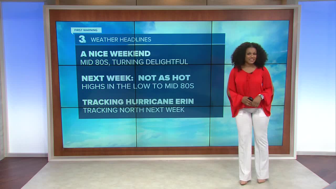
We're in for a treat this weekend. Both days will be mostly dry and sunny. Temperatures will be in the low to mid 80s. The humidity drops off Sunday making for some really comfortable conditions.
The mild weather holds through the middle of next week. By the end of the week, we'll likely be dealing with some rough surf caused by Hurricane Erin.

Tracking Hurricane Erin
Erin is currently a low-grade category 1 hurricane with winds at 75 mph. It has become better organized as an eye tries to form. There is agreement that the storm will continue moving west where some slight strengthening could occur. Beyond 72 hours there still remains some slight uncertainty regarding Erin's exact path.

Most models agree that an approaching cold front from the Mid Atlantic will push Hurricane Erin away from land and out to sea.

Let's connect on social media!
Forecaster Derrah Getter:
For weather updates on Facebook: HERE
For weather updates on X: HERE
Follow me on Instagram: HERE
Check out the Interactive Radar on WTKR.com: Interactive Radar
