



Derrah Getter's First Warning Forecast
The gusty conditions continue this week. Wind gusts along the coast will be 30-40 mph through midweek. Minor to moderate tidal flooding will persist along the coast associated with a developing coastal storm.

This evening will be partly cloudy and breezy. Lows will be in the low to mid 50s.
A few showers will be possible along the coast Monday in association with a developing coastal low. Winds will remain strong throughout the afternoon. Highs will be in the mid 60s.
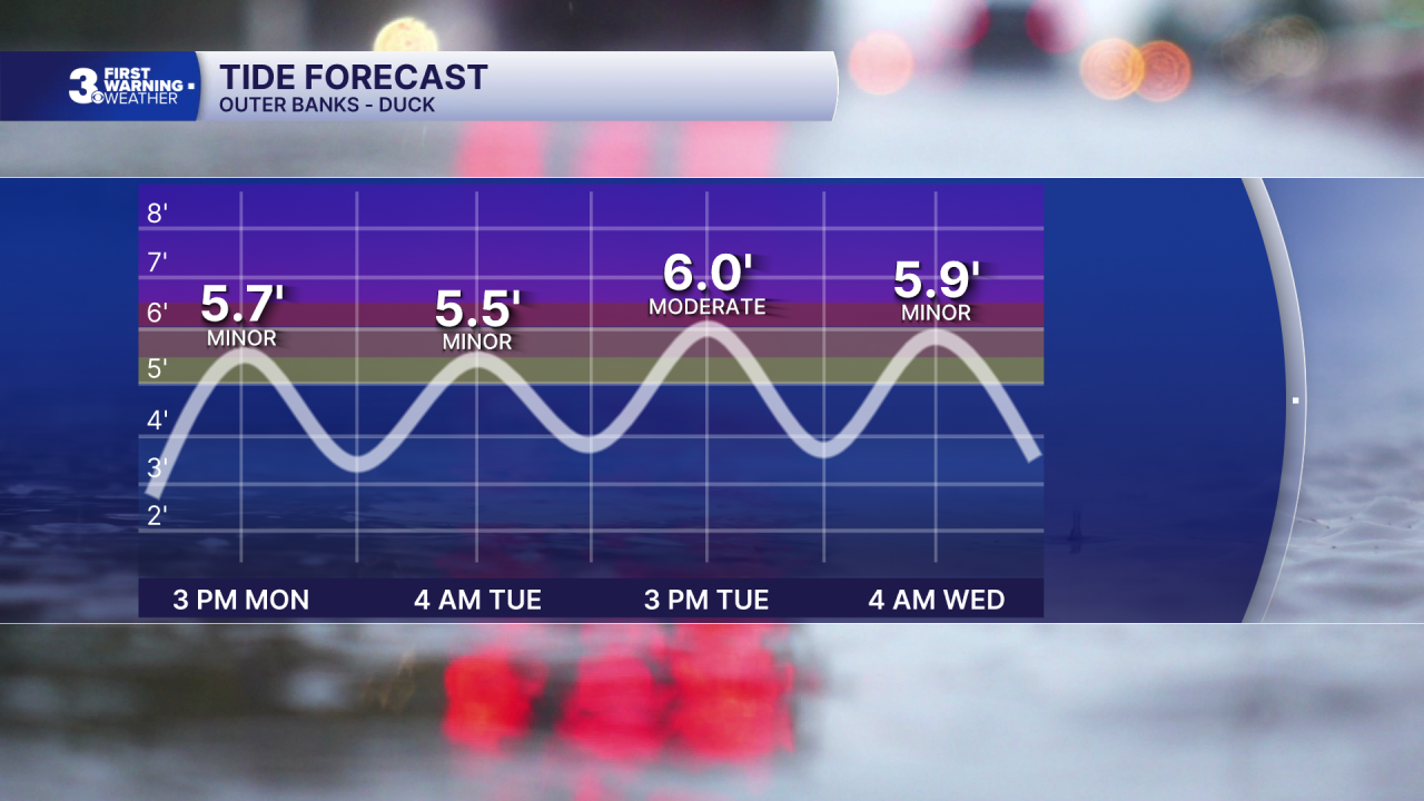
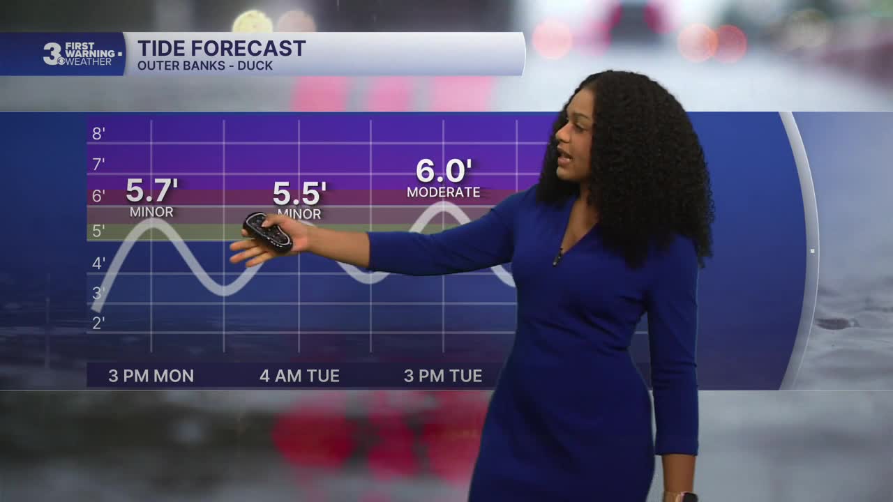
Rain chances will be low across most areas for the rest of the week. A few chances for spotty coastal showers will remain through the middle of the week. Minor to moderate tidal flooding will persist with the worst of the flooding around Tuesday afternoon.
Winds fade and clouds clear up as the system moves out late week.

2026 Atlantic Hurricane Season Update:
A non-tropical area of low pressure is expected to form off the U.S. east coast. Some tropical development is possible as it meanders off the coast for several days. Regardless of development, high winds, rough surf and coastal flooding will persist across portions of the east coast.
Formation chance through 48 hours...low...near 0%
Formation chance through 7 days...low...30%

Let's connect on social media!
Meteorologist Derrah Getter:
For weather updates on Facebook: HERE
For weather updates on X: HERE
Follow me on Instagram: HERE
Check out the Interactive Radar on WTKR.com: Interactive Radar
