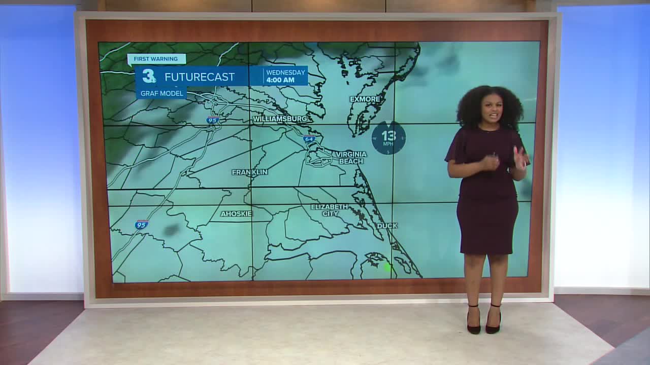


Derrah Getter's First Warning Forecast
Gusty wind and flooding continue...
Another round of moderate tidal flooding is expected late tonight. The flooding will be exacerbated by persistently high water levels. Tonight lows will be in the upper 50s.

Be mindful of lingering flood water as you make your way to work and school on Monday morning. A few scattered showers linger as the storm begins to move out. Highs will be in the upper 60s.
Skies will be brighter on Tuesday. Conditions progress as the week goes on with sunny and dry weather returning mid-late next week. Highs will be in the 60s and 70s.

2025 Atlantic Hurricane Season Update:
An area of low-pressure SW of the Cabo Verde Islands continues to produce an area of disorganized showers and storms. Environmental conditions appear conducive for development over the next few days, and a tropical depression could form during the early to middle part of this week.
Formation chance through 48 hours...MEDIUM...60%
Formation chance...7 day...HIGH...70%

Let's connect on social media!
Forecaster Derrah Getter:
For weather updates on Facebook: HERE
For weather updates on X: HERE
Follow me on Instagram: HERE
Check out the Interactive Radar on WTKR.com: Interactive Radar
