

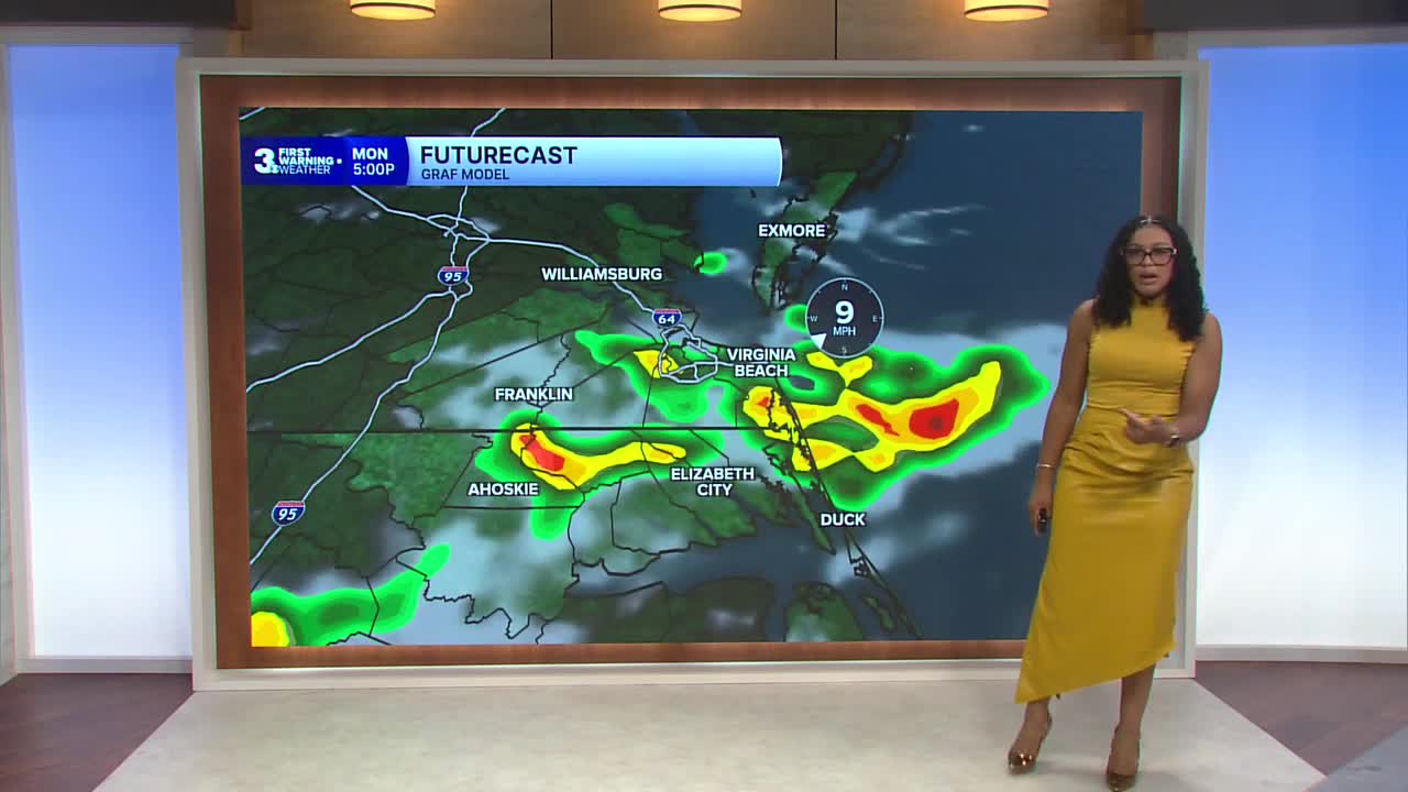


Derrah Getter's First Warning Forecast
This evening, isolated showers and storms roll through. Rain chances decrease after sunset. Overnight lows will be in the mid 70s.

Sunday will be hot and humid. High temperatures will reach the mid 90s. Heat index values could reach as high as 105 degrees. Shower and storm chances increase during the afternoon.

Triple digit feels like temperatures and highs in the mid 90s continue through the end of next week. Daily chances for isolated showers and storms persist.

2026 Atlantic Hurricane Season Update:
We're monitoring two areas of development.
A tropical wave is expected to move off the west coast of Africa early next week. Gradual development will be possible and a tropical depression could form later next week.
Formation chance through 48 hours...low...near 0%
Formation chance through 7 days...medium...40%
A broad area of showers and thunderstorms associated with a tropical wave is located a few hundred miles southwest of the Cabo Verde Islands. Some gradual development is possible during early to mid-next week. Environmental conditions are expected to become less favorable for additional development late next week as the system moves toward the Lesser Antilles.
Formation chance through 48 hours...low...near 0%
Formation chance through 7 days...low...20%

Let's connect on social media!
Derrah Getter:
For weather updates on Facebook: HERE
For weather updates on X: HERE
Follow me on Instagram: HERE
Check out the Interactive Radar on WTKR.com: Interactive Radar
