


Derrah Getter's First Warning Forecast
This evening, skies will be mostly cloudy. Overnight lows will be in the low 70s.
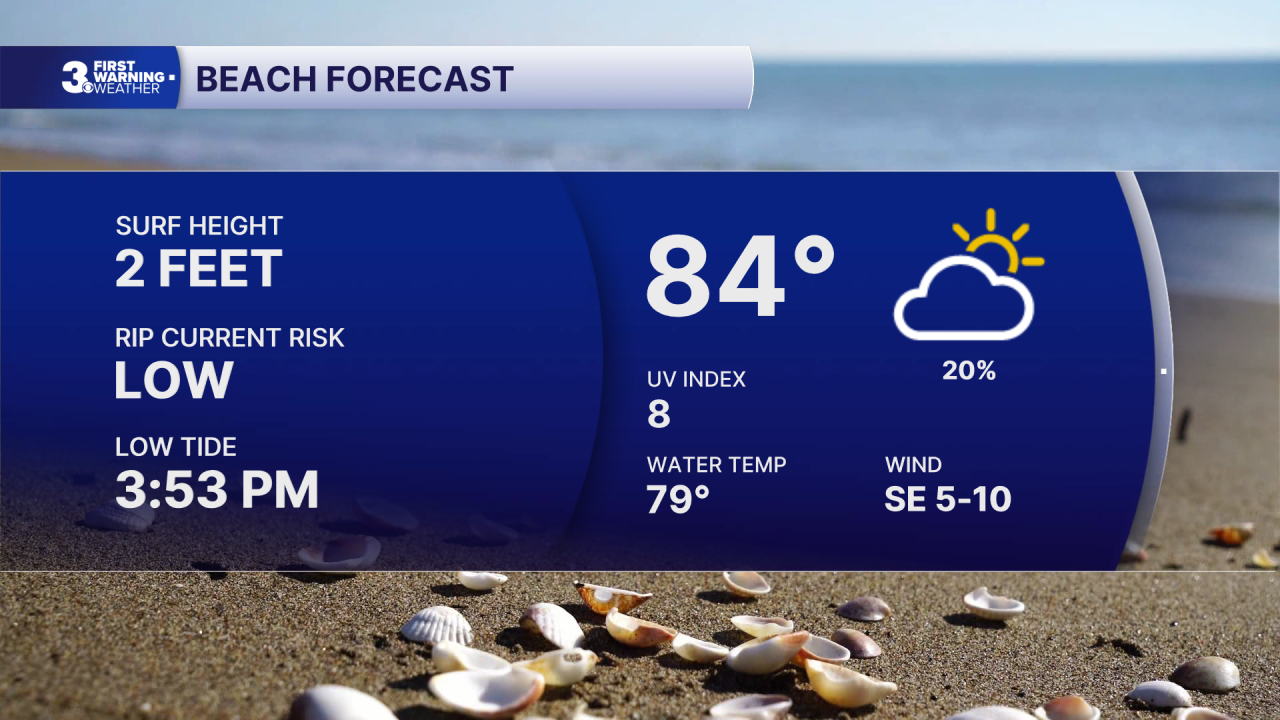
Sunday will be warmer with a bit more sunshine. Highs will be in the upper 80s. A few spotty showers will be possible during the afternoon, but rain chances will be much lower.

Hotter conditions return next week. Highs will be in the 90s for several days with feels like temperatures in the low triple digits. Rain chances increase late week.

2026 Atlantic Hurricane Season Update:
We’re monitoring two areas in the tropics.
Disorganized showers and thunderstorms associated with the remnants of Dolly continue east of the Leeward Islands. Redevelopment is unlikely, but heavy rain and gusty wind will be possible across the Caribbean over the next few days.
Formation chance through 48 hours...low...near 0%
Formation chance through 7 days...low...10%
A weak area of low pressure near Pensacola, Florida is showing signs of some organization. Additional development is possible as the system moves west.
Formation chance through 48 hours...low...near 0%
Formation chance through 7 days...low...20%

Let's connect on social media!
Meteorologist Derrah Getter:
For weather updates on Facebook: HERE
For weather updates on X: HERE
Follow me on Instagram: HERE
Check out the Interactive Radar on WTKR.com: Interactive Radar
