



Derrah Getter's First Warning Forecast
Temperatures warm up to the low 90s Monday. We’ll see a mix of sun and clouds but mainly sunshine throughout the day. A few spotty showers will be possible during the afternoon.

Highs climb into the mid to upper 90s through the middle of the week. Heat index values will range from 105-110 degrees for several days. Rain chances during this period will generally be low.
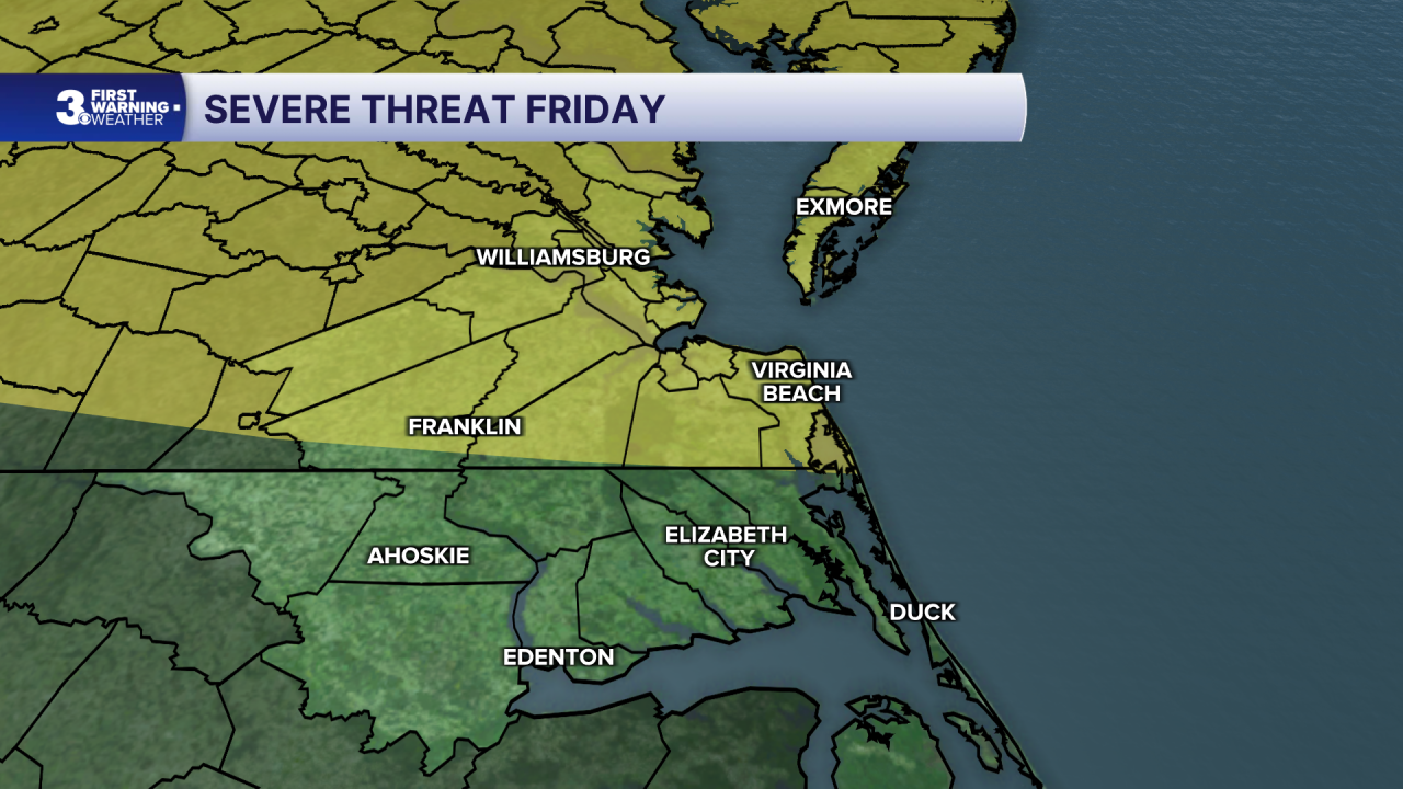
Scattered shower and storm chances return at the end of the week. Some strong storms will be possible Thursday and Friday. The SPC issued a level 2 out of 5 threats for part of the area Friday.
Highs over the weekend will be in the low to mid 80s.

2026 Atlantic Hurricane Season Update:
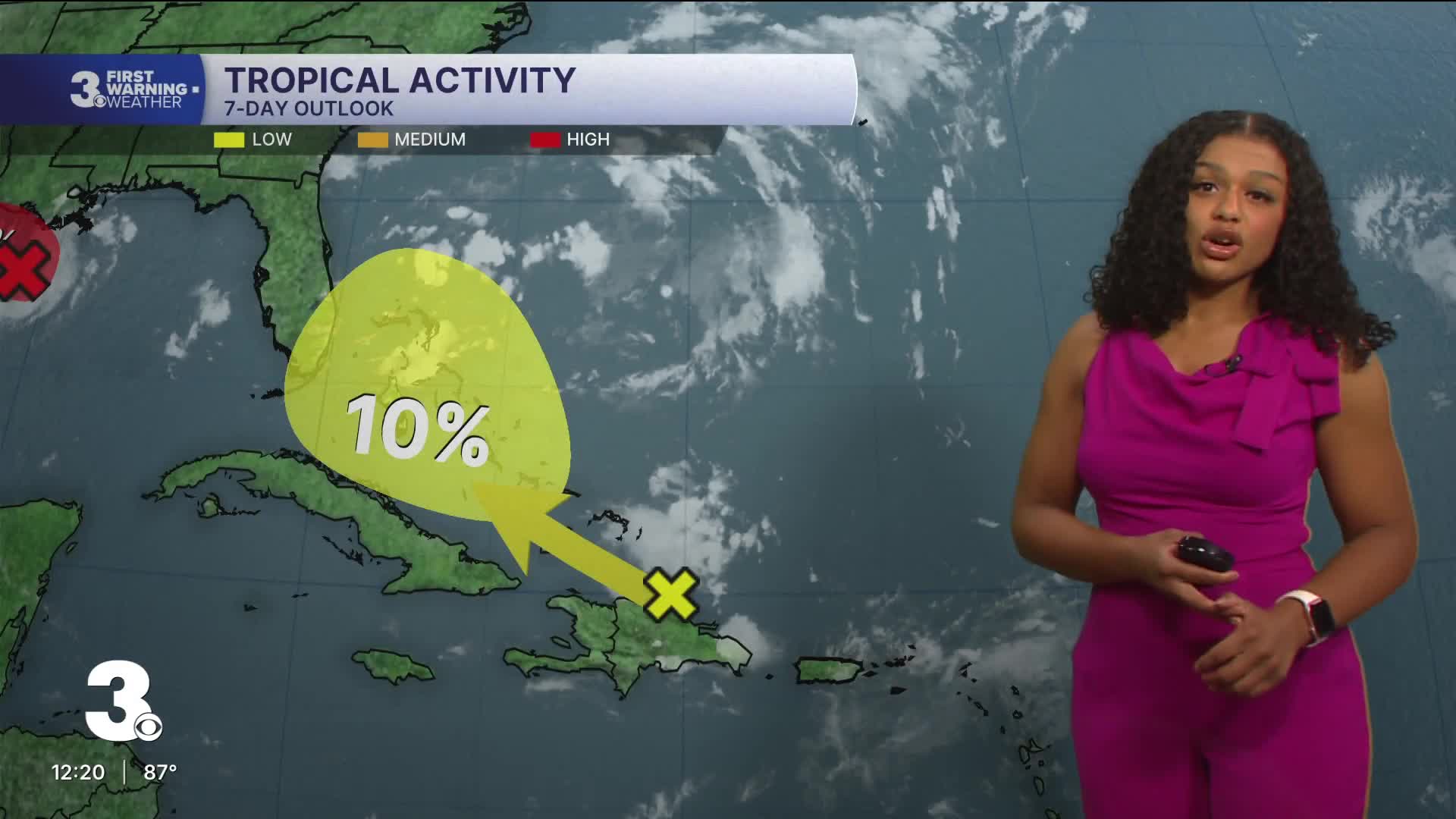
We’re monitoring two areas in the tropics.
Disorganized showers and thunderstorms associated with the remnants of Dolly continue east of the Leeward Islands. Redevelopment is unlikely, but heavy rain and gusty wind will be possible across the Caribbean over the next few days.
Formation chance through 48 hours...low...near 0%
Formation chance through 7 days...low...20%
An area of low pressure over the Gulf is showing signs of some organization. Additional development is possible as the system moves west. A short-lived tropical depression is likely to form as the system moves along the Texas-Louisiana coast.
Formation chance through 48 hours...high...70%
Formation chance through 7 days...high...70%

Let's connect on social media!
Meteorologist Derrah Getter:
For weather updates on Facebook: HERE
For weather updates on X: HERE
Follow me on Instagram: HERE
Check out the Interactive Radar on WTKR.com: Interactive Radar
