



Derrah Getter's First Warning Forecast
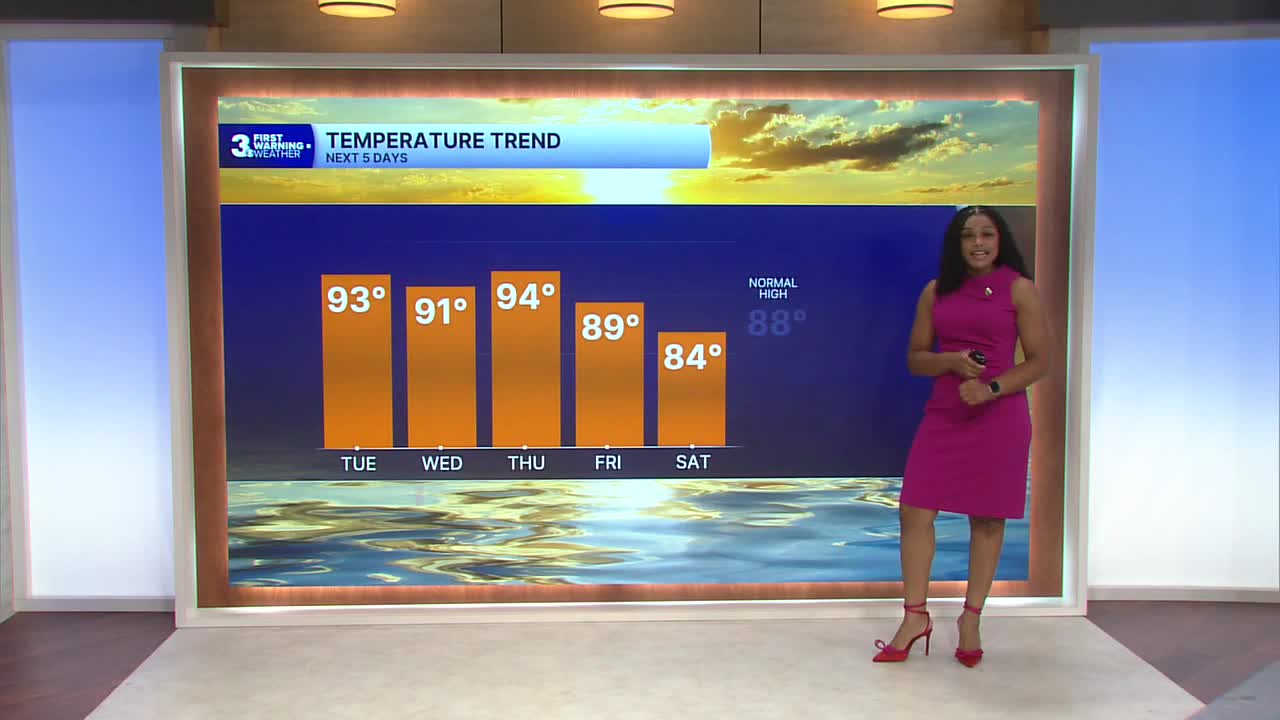
This afternoon, highs will be in the low to mid 90s. Feels like temperatures will be in the low triple digits. Another round of isolated showers and storms get going this evening.

Hot and humid conditions prevail through the end of the week. Highs trend closer to normal by Friday but feels like temperatures will remain near 100 degrees.

Unsettled weather continues throughout the week as well. Isolated strong to severe storms will be possible. Strong storms will be capable of producing heavy downpours and gusty winds, but the rain won’t be widespread.
Temperatures will be in the mid 80s this weekend with low rain chances.

2026 Atlantic Hurricane Season Update:
We’re monitoring the potential development of three areas.
An area of low pressure a few hundred miles south of the Cabo Verde Islands is producing disorganized showers and thunderstorms. As the system moves slowly west, it is anticipated to merge with an existing tropical wave. Environmental conditions are forecast to be conducive for gradual development, and a tropical depression could form later in the week.
Formation chance through 48 hours...low...20%
Formation chance through 7 days...medium...60%
A broad area of showers and thunderstorms associated with a tropical wave is located between the west coast of Africa and the Lesser Antilles. Some gradual development is possible through the middle of this week. Environmental conditions are expected to become less conducive for additional development later in the week.
Formation chance through 48 hours...low...10%
Formation chance through 7 days...low...10%
A trough of low pressure located a few hundred miles NW of Bermuda is producing disorganized showers and thunderstorms. Some development is possible, but chances decrease as it moves into cooler water later this week.
Formation chance through 48 hours...low...10%
Formation chance through 7 days...low...10%

Let's connect on social media!
Forecaster Derrah Getter:
For weather updates on Facebook: HERE
For weather updates on X: HERE
Follow me on Instagram: HERE
Check out the Interactive Radar on WTKR.com: Interactive Radar
