

Derrah Getter's First Warning Forecast
This 4th of July has officially been the hottest on record. High temperatures hit 100 degrees in Norfolk for the first time since 2020.

This evening, the heat could fuel the potential for a few isolated strong to severe storms. Strong storms could produce damaging wind gusts, heavy rain, and frequent lightning. Most of us are looking dry for firework celebrations.

Sunday will be hot albeit a degree or two cooler. Highs are forecast to reach the mid to upper 90s with heat indices reaching 105 to 110 degrees.

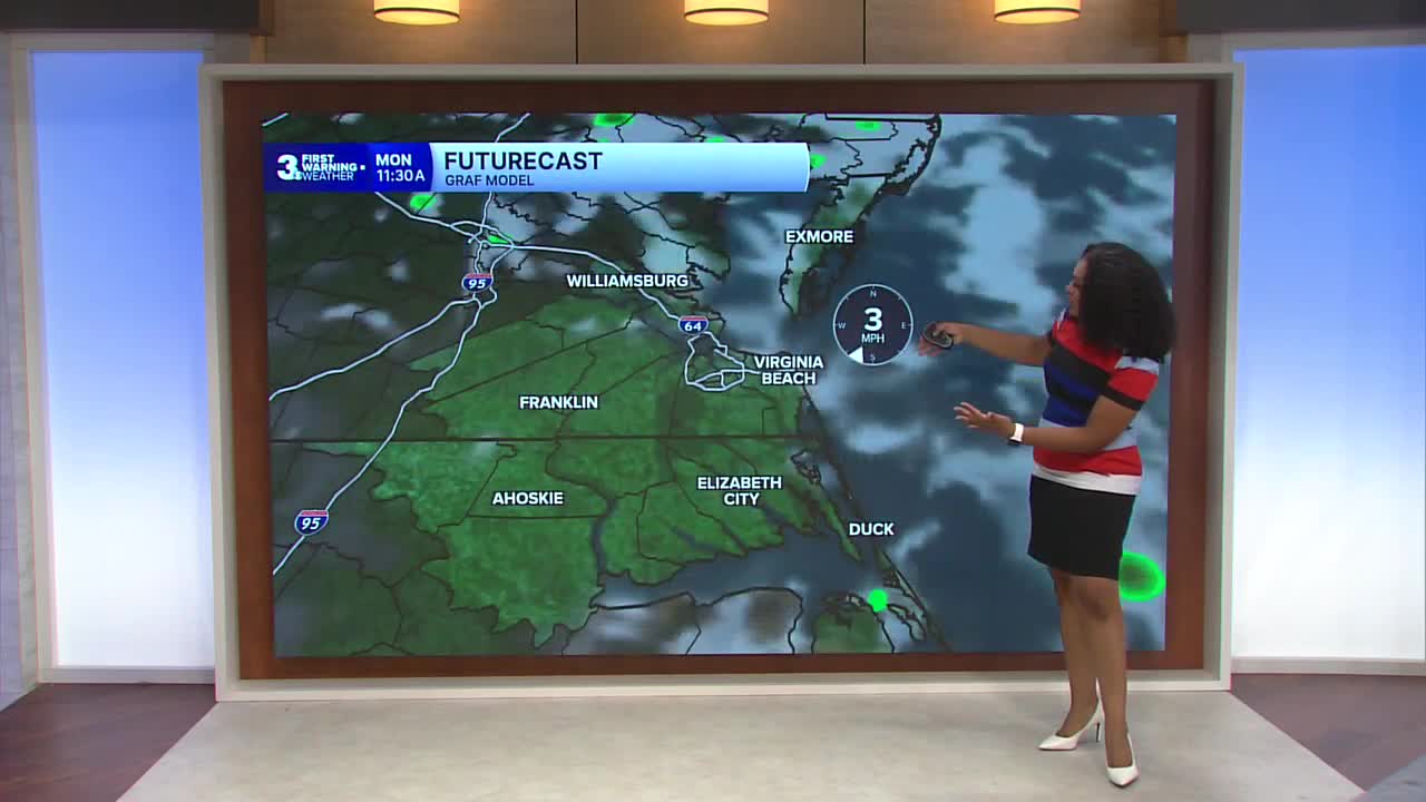
Scattered shower and storm chances return on Monday and Tuesday. Some of these storms could turn severe. Temperatures trend closer to average by Wednesday.

Let's connect on social media!
Forecaster Derrah Getter:
For weather updates on Facebook: HERE
For weather updates on X: HERE
Follow me on Instagram: HERE
Check out the Interactive Radar on WTKR.com: Interactive Radar
