

Derrah Getter's First Warning Forecast
Today will be one of our last (mostly) dry days for the next week or so.
This afternoon, highs reached the upper 80s and low 90s making it one of only 3 90 degree days so far this month. A few spotty showers will be possible this evening.

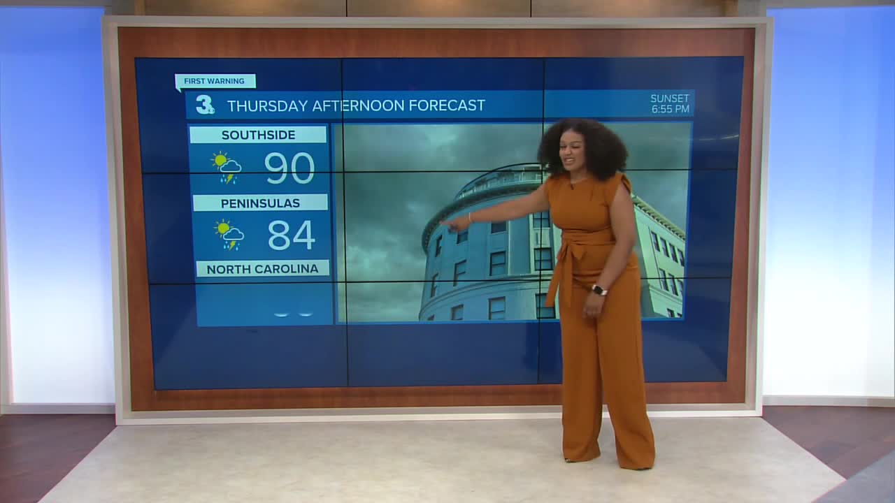
A slow-moving cold front approaches the area Thursday bringing the chance of a few isolated strong to severe thunderstorms. Our biggest threat is damaging wind gusts. Highs Thursday reach the upper 80s.

Temperatures retreat to the upper 70s and low 80s as the front stalls out bringing more clouds to the region. Scattered showers and storms will be possible through the upcoming weekend.
Next week, we’ll be monitoring the possible impacts from two areas of potential in the tropics.

2025 Atlantic Hurricane Season Update:
A tropical wave over the northeaster Caribbean Sea is producing disorganized showers and thunderstorms. The wave is expected to briefly speed up as it moves WNW at 15-20 mph then slowly turn late this week. A tropical depression is likely to form.
Formation chance through 48 hours...LOW...30%
Formation chance through 7 days...HIGH...80%

Shower and thunderstorm activity associated with an elongated area of low pressure located several hundred miles east of the Leeward Islands continues to show signs of organization. Environmental conditions are forecast to become favorable for development, and a tropical depression is likely to form in the next several days.
Formation chance through 48 hours...HIGH...90%
Formation chance through 7 days...HIGH...90%

Hurricane Gabrielle is currently a category 3 storm. It is showing signs of gradual weakening as it moves over the north central Atlantic.
Let's connect on social media!
Forecaster Derrah Getter:
For weather updates on Facebook: HERE
For weather updates on X: HERE
Follow me on Instagram: HERE
Check out the Interactive Radar on WTKR.com: Interactive Radar
