



Derrah Getter's First Warning Forecast
This evening, scattered showers and a few embedded isolated storms persist across the region. Overnight lows will be in the low to mid 70s.

Monday morning, showers linger across portions of northeast North Carolina and Southside. Highs will be in the low 80s underneath partly to mostly cloudy skies.Skies gradually clear from north to south by the evening. We’ll see some nuisance tidal flooding along the coast Monday night.

Drier and hotter conditions return during the middle of the week.On Wednesday, Thursday and Friday, highs will be in the low to mid 90s with heat index values near 100 degrees.
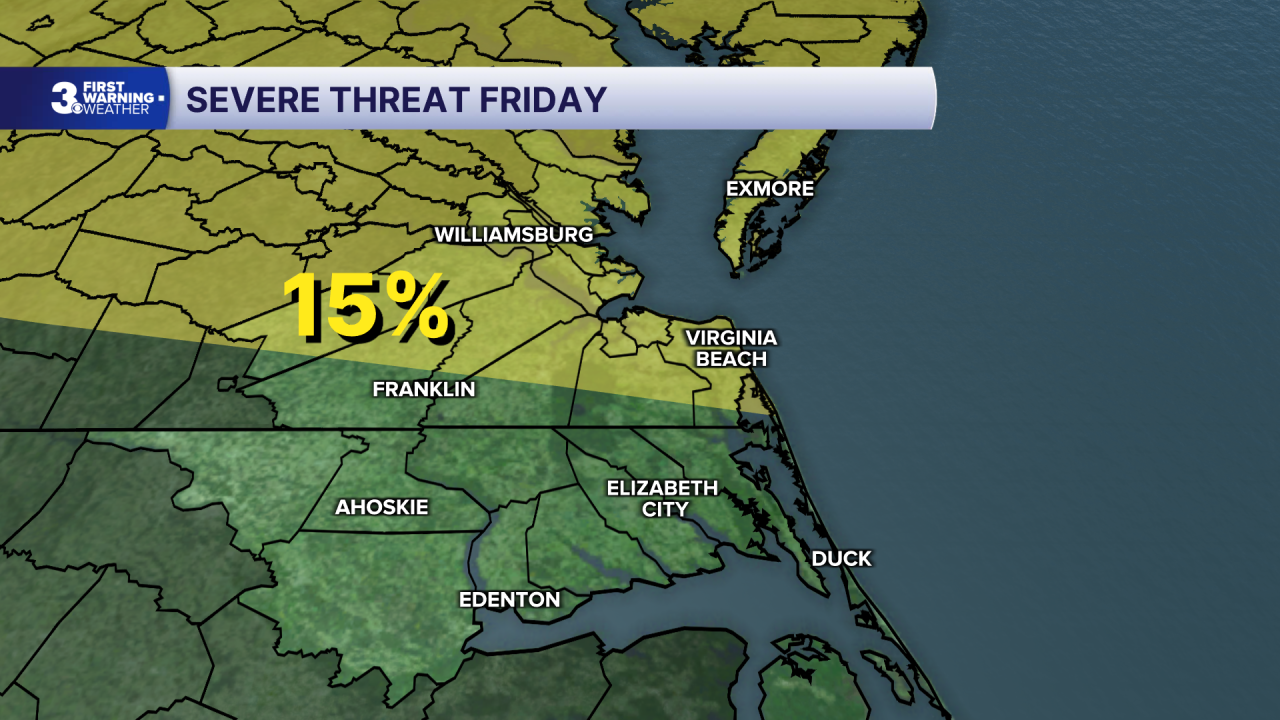
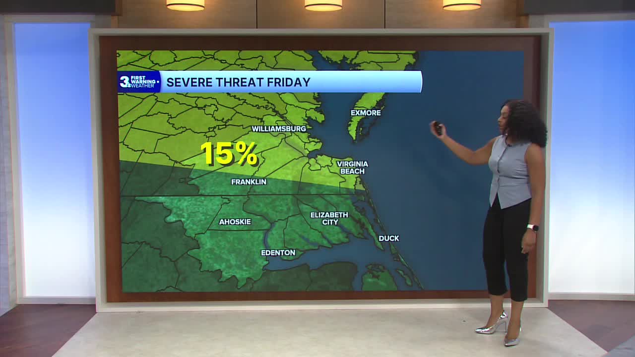
The SPC has issued a level 2 out of 5 severe weather threat Friday. Scattered showers and storm chances remain over the upcoming weekend.

Let's connect on social media!
Forecaster Derrah Getter:
For weather updates on Facebook: HERE
For weather updates on X: HERE
Follow me on Instagram: HERE
Check out the Interactive Radar on WTKR.com: Interactive Radar
