



Derrah Getter's First Warning Forecast
This evening will be partly to mostly cloudy. Lows will be in the low 70s. Another round of showers and storms will move through overnight.
Sunday will be mostly cloudy with highs in the low 80s. Scattered showers and storms increase during the afternoon.
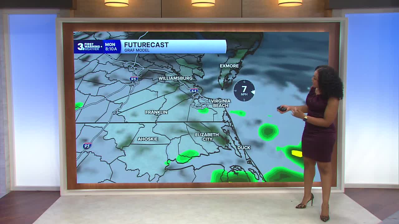
This system will steer our winds to be out of the northeast leading to nuisance and minor tidal flooding Sunday night and Monday night.

Storm chances linger through Monday. Highs remain well below normal in the low 80s Monday afternoon.

Rain chances will decrease during the middle of next week. High temperatures heat back up to the mid 90s with heat index values near 100 degrees.
Another round of storms could bring potentially strong to severe weather to the area on Friday.

Let's connect on social media!
Forecaster Derrah Getter:
For weather updates on Facebook: HERE
For weather updates on X: HERE
Follow me on Instagram: HERE
Check out the Interactive Radar on WTKR.com: Interactive Radar
