


Derrah Getter's First Warning Forecast
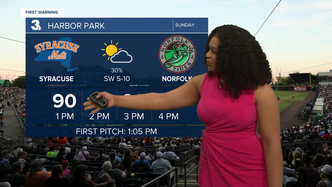
Leftover clouds and showers clear out Sunday morning. Bright sunshine returns Sunday afternoon. Highs reach the low to mid 90s.
The heat is a concern today. A heat advisory is in effect from 11 am to 8 pm. Feels like temperatures hover near 105 degrees.

There will be a slight chance for storms again in the afternoon and evening but most locations will remain dry. Some storms could turn strong to severe with damaging wind gusts and large hail being the primary threats.
At the beginning of the work week, a cold front brings more comfortable conditions. Highs fall to the mid 80s for several days. The humidity levels drop as well making it feel more like spring rather than summer.
Slight rain chances return late week as temperatures climb back into the low 90s.

2025 Atlantic Hurricane Season Update:
As of 7/20, 2 am
A tropical wave ESE of Barbados is producing disorganized showers and thunderstorms. The system is moving NW at 10 mph. It has a 10% chance of formation in the next 7 days.

Let's connect on social media!
Forecaster Derrah Getter:
For weather updates on Facebook: HERE
For weather updates on X: HERE
Follow me on Instagram: HERE
Check out the Interactive Radar on WTKR.com: Interactive Radar
