

Derrah Getter's First Warning Forecast
This evening will be partly cloudy with overnight lows in the 70s.
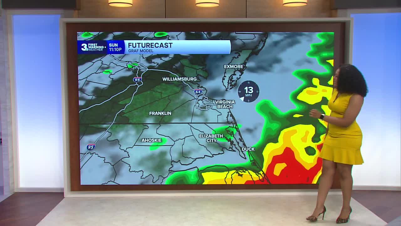
Sunday will be much hotter and more humid. Heat index values reach 100 degrees in the afternoon. The elevated heat and humidity will fuel the potential for scattered strong to severe thunderstorms.

The SPC has issued a level 2 out of 5 severe weather threat Sunday with damaging winds being the main concern, however an isolated tornado can’t be ruled out. The main impact window will be 4 pm - 11 pm.

On Monday and Tuesday, highs will be below normal. The heat ramps back up again during the middle of the week with highs reaching the upper 90s by Thursday. Another round of strong to severe storms will be possible late week.

Let's connect on social media!
Forecaster Derrah Getter:
For weather updates on Facebook: HERE
For weather updates on X: HERE
Follow me on Instagram: HERE
Check out the Interactive Radar on WTKR.com: Interactive Radar
