

Derrah Getter's First Warning Forecast
Thursday high temperatures reach the upper 80s and low 90s but the humidity will cause it to feel like the low 100s.

Scattered showers and storms fire up heading into the evening. The high humidity could lead to heavy downpours so flash flooding will be a concern with some of the stronger storms. The entire area remains under a flood watch.

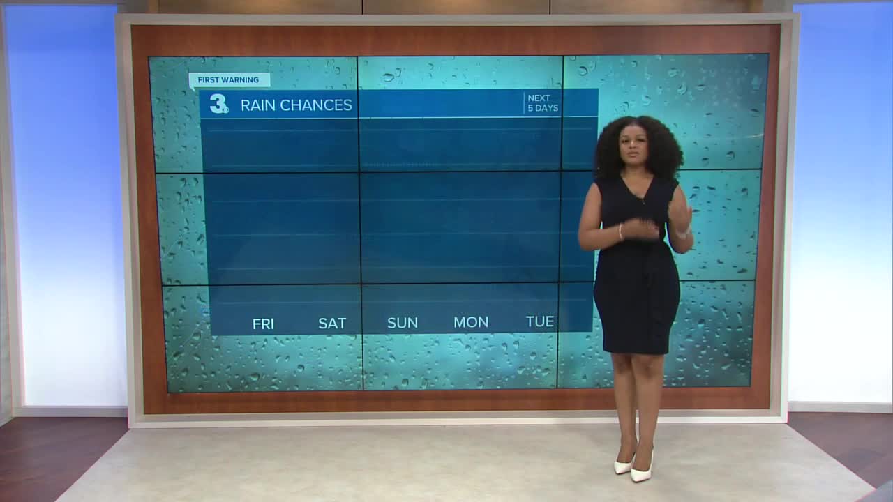
Rain chances decrease just in time for the weekend. The humidity lingers through Saturday but we get a brief break from the sticky conditions early next week. As we redirect our attention from this week's rain chances, all eyes will be on Tropical Storm Erin next week.

Tropical Storm Erin Update
As of 5 pm
Erin continues to become better organized. The storm has strengthened slightly over the past 24 hours. Based on its track, it is expected to continue strengthening as it moves over warmer waters and into an area with little vertical wind shear. It is forecast to become a hurricane within the next day or so. It is then expected to slowly continue strengthening. By the end of the weekend, it is forecast to become a major (category 3) hurricane.

Most models agree that Erin won't impact Hampton Roads or northeast North Carolina. A cold front is forecast to push the storm away from land and sweep it out to sea. At the very least, we'll experience rough surf and maybe a few showers from the outer bands around next Wednesday and Thursday.

Let's connect on social media!
Forecaster Derrah Getter:
For weather updates on Facebook: HERE
For weather updates on X: HERE
Follow me on Instagram: HERE
Check out the Interactive Radar on WTKR.com: Interactive Radar
