


Meteorologist Myles Henderson’s First Warning Forecast
Building heat and humidity through the week. Several chances for scattered showers/storms to end the week.
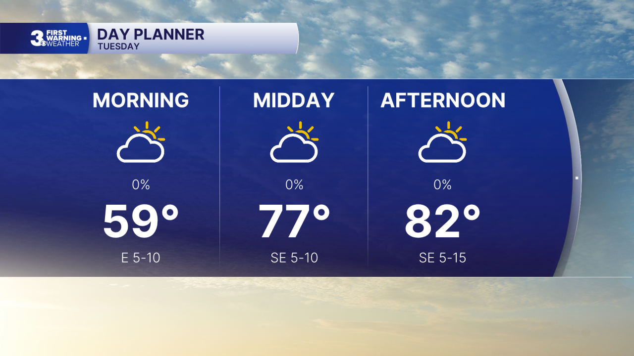
A cooler start this morning with temperatures in the 50s. A step warmer today with highs in the low 80s, near normal for this time of year. We will see a mix of sun and clouds today and not as windy as yesterday.
The heat and humidity return for the second half of the week. Highs will reach the upper 80s on Wednesday and the mid 90s for Thursday and Friday. Afternoon heat index values will climb to the triple digits for Thursday and Friday. We will see partly cloudy skies with a chance for a scattered shower/storm each day.

The summer-like pattern with highs in the low 90s and “pop-up” storms will continue for the upcoming weekend.
Today: Partly Cloudy. Highs in the low 80s. Winds: SE 5-15
Tonight: Partly Cloudy. Lows in the upper 60s. Winds: SE 5-15
Tomorrow: Partly Cloudy. Highs in the upper 80s. Winds: SW 10-15
Weather & Health
Pollen: Moderate (Trees & Grasses)
UV Index: 7 (High)
Air Quality: Good (Code Green)
Mosquitoes: Very High
Tropical Update
No tropical activity at this time
Weather updates on social media:
Facebook: MylesHendersonWTKR
Instagram: @MylesHendersonWTKR
