


Meteorologist Myles Henderson’s First Warning Forecast
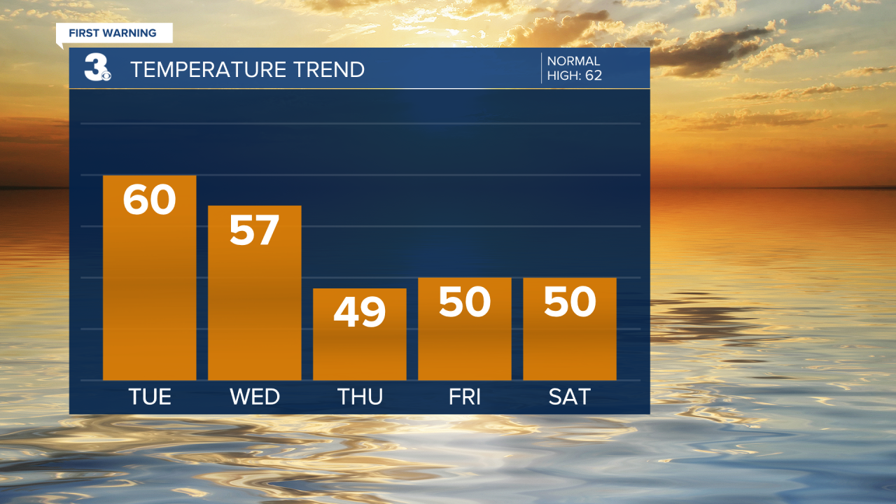
Rain building in today with highs near 60. More sunshine but cooler to end the week with highs near 50.
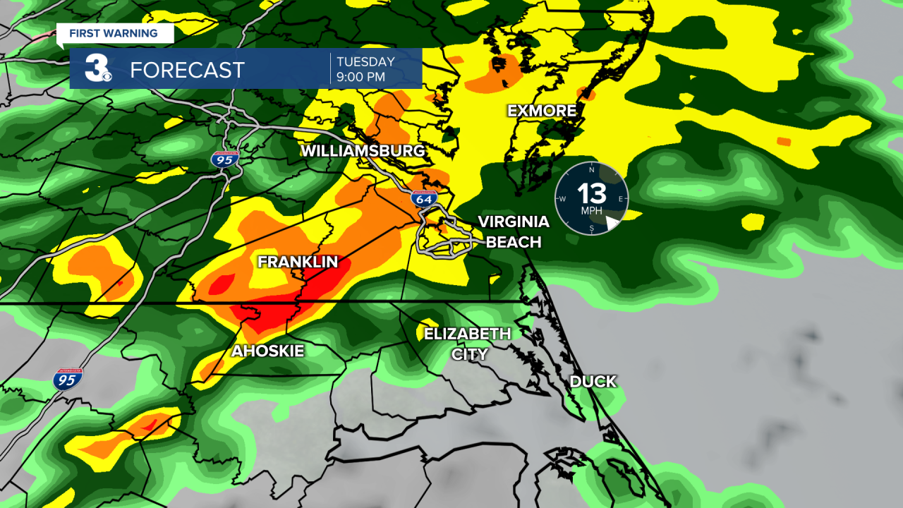
Mostly cloudy skies today with a few showers moving in around midday. Rain will build through the afternoon to evening. The most widespread and heaviest rain will be between 8 PM and midnight. An isolated thunderstorm is possible. Temperatures will warm to the upper 50s and near 60 today.
Showers will linger into early Wednesday morning then skies will clear through midday. Expect partly cloudy skies in the afternoon with highs in the upper 50s.
Cooler air locks in for the end of the week. Highs will linger in the upper 40s to low 50s through the end of the work week and the weekend. Overnight lows will drop into the 30s, closer to freezing. Expect a nice mix of mostly to partly cloudy skies with slim rain chances.
Today: Mostly Cloudy, PM Rain, Breezy. Highs near 60. Winds: E 10-15
Tonight: Mostly Cloudy, Rain, Breezy. Lows in the upper 40s. Winds: SE 10-15
Tomorrow: AM Showers, PM Clearing. Highs in the upper 50s. Winds: NW 5-15
Weather & Health
Pollen: Low (Mixed)
UV Index: 2 (Low)
Air Quality: Good (Code Green)
Mosquitoes: Low
Tropical Update
No tropical activity at this time
Weather updates on social media:
Facebook: MylesHendersonWTKR
Twitter: @MHendersonWTKR
Instagram: @MylesHendersonWTKR
