


Derrah Getter's First Warning Forecast
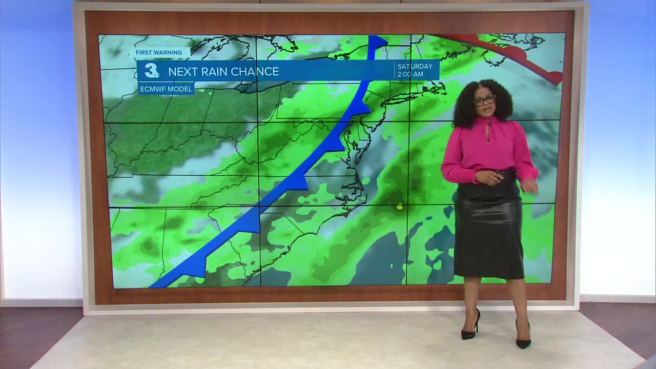
This evening the cloud cover thickens. Rain chances increase overnight.
Showers begin to fade by daybreak Saturday. The rest of the day will be sunny and mild. Highs will be in the low 70s.

Isolated strong to severe storms will be possible early on Sunday morning. We’ll see some clearing in the afternoon. A few more spotty storms will be possible again during the evening. Highs Sunday will be in the mid 70s.

Temperatures fall about 20 degrees from Sunday to Monday. Tuesday will be our coolest day of the week with forecast wind chill values in the 20s in the morning and afternoon high temperatures struggling to make it out of the 40s.

2025 Atlantic Hurricane Season Update
No tropical cyclone activity.
Let's connect on social media!
Forecaster Derrah Getter:
For weather updates on Facebook: HERE
For weather updates on X: HERE
Follow me on Instagram: HERE
Check out the Interactive Radar on WTKR.com: Interactive Radar
