


Meteorologist Myles Henderson’s First Warning Forecast
Rain & snow this morning to rain by midday. A chilly stretch of days with highs in the 40s and 50s.
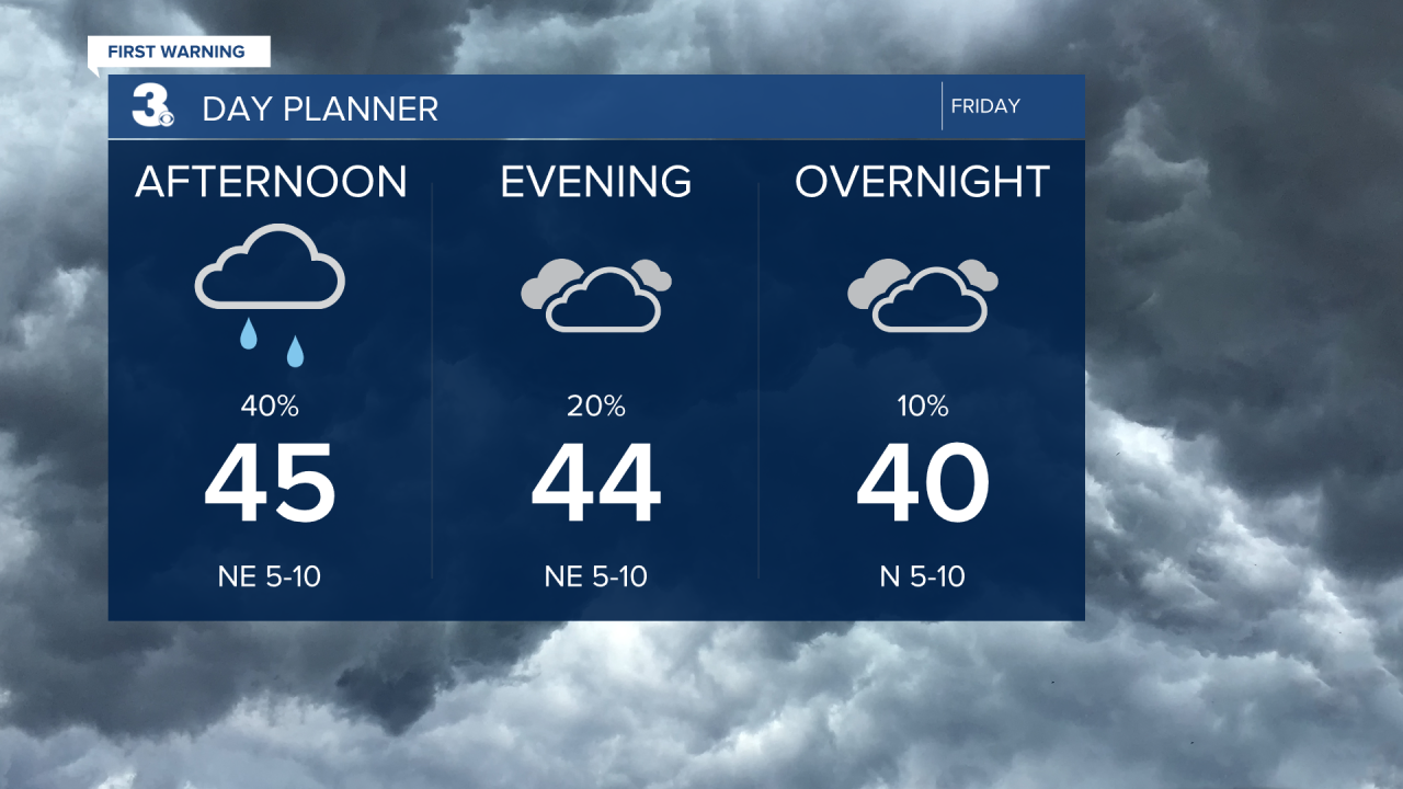
Rain showers becoming more scattered this afternoon with highs in the mid 40s. Overcast with lows near 40 tonight.
A chilly weekend with highs in the 40s to near 50. Expect mostly cloudy skies on Saturday and partly cloudy skies on Sunday. A stray shower is possible, but most of the weekend will be dry.
The below-normal air sticks around for next week with high temperatures remaining in the 40s and 50s.

Today: AM Mix, PM Rain. Highs in the mid 40s. Winds: NE 5-10
Tonight: Mostly Cloudy. Lows in the upper 30s. Winds: N 5-10
Tomorrow: Mostly Cloudy. Highs in the upper 40s. Winds: NW 5-10
Weather updates on social media:
Facebook: MylesHendersonWTKR
Instagram: @MylesHendersonWTKR
