


Meteorologist Myles Henderson’s First Warning Forecast
A cool and windy start to the week. Scattered showers through midweek.
Look for a mix of clouds today with highs in the mid 70s, below normal for this time of year. It will be windy today with a NE wind at 10 to 20 mph.

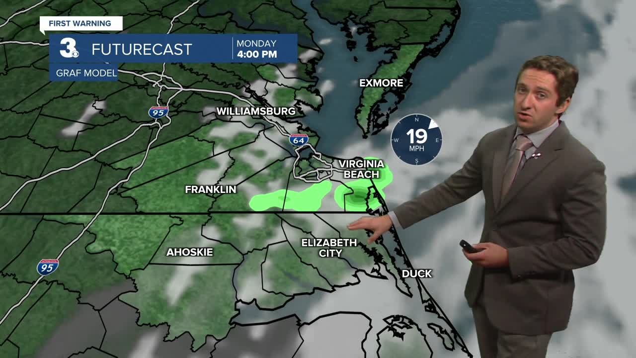
Partly to mostly cloudy tomorrow with scattered showers and highs returning to the mid 70s. It will be windy again tomorrow with a NE wind at 10 to 20 mph.
Mostly cloudy on Wednesday with scattered showers as a stationary front drifts closer to the coastline. Highs will remain in the mid 70s and it will still be windy. The persistent NE winds will trigger some minor tidal flooding over the next several high tide cycles.

Winds will start to relax, rain chances will drop, and the clouds will start to break up for the end of the work week. Highs will remain in the mid to upper 70s.

Today: Partly Cloudy, Windy. Highs in the mid 70s. Winds: NE 10-20
Tonight: Partly Cloudy, Breezy. Lows in themed 60s. Winds: NE 10-15
Tomorrow: Scattered Showers, Windy. Highs in the mid 70s. Winds: NE 10-20
Weather & Health
Pollen: Medium-High (Ragweed)
UV Index: 7 (High)
Air Quality: Good (Code Green)
Mosquitoes: Very High
Tropical Update
No tropical activity at this time
Weather updates on social media:
Facebook: MylesHendersonWTKR
Instagram: @MylesHendersonWTKR
