


Meteorologist Myles Henderson’s First Warning Forecast
A warm week with highs in the 70s and 80s. Tracking several chances for showers and storms. Looking like a soggy and cooler Mother’s Day weekend.
Expect a mix of clouds (partly to mostly cloudy) today with highs in the mid 70s, near normal for this time of year. A few showers are possible this afternoon, but the biggest chance will be tonight (after 7 PM). Strong to severe storms are possible with gusty winds, heavy downpours, and hail possible.

We will climb to the upper 80s on Wednesday, the warmest day of the week. Expect a mix of partly to mostly cloudy skies with scattered showers and storms, mainly in the afternoon to evening (3 PM to 8 PM).

Rain chances will be lower for Thursday, but clouds will linger. It will be much cooler with highs in the upper 60s to near 70.
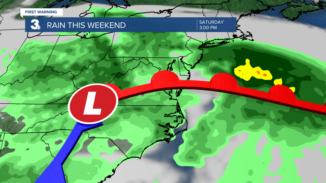
Rain returns for Friday and the weekend as an area of low pressure slowly moves over the Mid-Atlantic. Highs will be cooler, in the 60s and 70s. Winds will kick up as the area of low pressure moves through.
Today: Mix of Clouds, Late-Day Storms. Highs in the mid 70s. Winds: N/E 5-15
Tonight: Showers & Storms. Lows in the mid 60s. Winds: S 5-10
Tomorrow: Mix of Clouds, PM Storms. Highs in the upper 80s. Winds: SW/W 10-15
Weather & Health
Pollen: Medium-High (Oak, Birch, Sweetgum)
UV Index: 6 (High)
Air Quality: Good (Code Green)
Mosquitoes: Moderate
Weather updates on social media:
Facebook: MylesHendersonWTKR
Twitter: @MHendersonWTKR
Instagram: @MylesHendersonWTKR
