


Meteorologist Myles Henderson’s First Warning Forecast
Showers to start but back to sunshine today. Bouncing between the 50s and 60s to end the week. Rain returns to start the weekend.
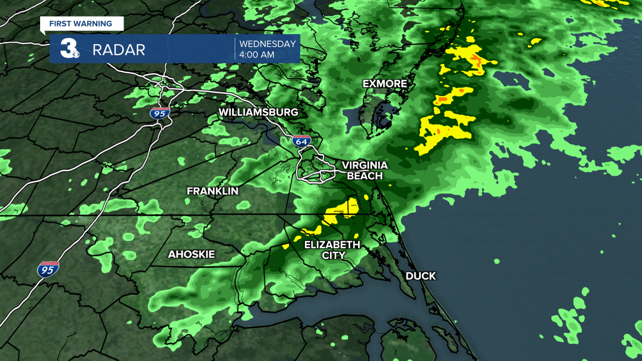
Scattered showers first thing this morning, but rain will move out by 7 am. Clouds will clear out by midday, and we will see lots of sunshine this afternoon. Highs will reach the low 60s, about 5 degrees warmer than yesterday.

Expect a mix of clouds for Thursday and Friday with highs warming from the upper 50s on Thursday to the mid 60s on Friday. Scattered showers are possible on Friday.
Clouds and showers will continue for Saturday with a stray chance for a storm to mix in. We will return to sunshine on Sunday. Expect another temperatures swing, from the upper 60s on Saturday to the upper 50s on Sunday.

Today: AM Showers, PM Sunshine. Highs in the low 60s. Winds: SW/N 5-10
Tonight: Building Clouds. Lows in the upper 40s. Winds: N 5-10
Tomorrow: Mix of Clouds. Highs in the upper 50s. Winds: NE 5-10
Weather & Health
Pollen: Low
UV Index: 3 (Moderate)
Air Quality: Good (Code Green)
Mosquitoes: Low
Tropical Update
No tropical activity at this time
Weather updates on social media:
Facebook: MylesHendersonWTKR
Instagram: @MylesHendersonWTKR
