

Derrah Getter's First Warning Forecast
*Some* warmer days lie ahead...a rain/snow chance too.

This evening, skies will be clear allowing for temperatures to fall back into the teens and 20s. This will lead to a refreeze for areas that saw measurable snow this past weekend.
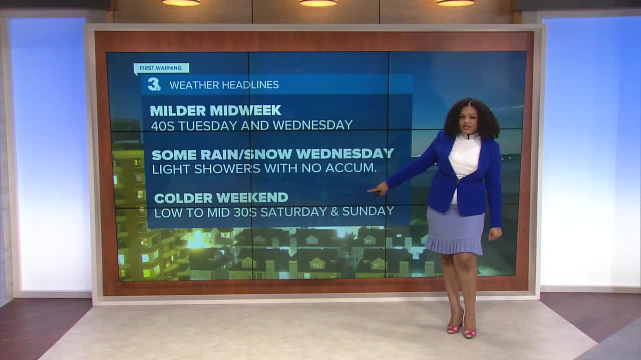
Tuesday will start out sunny,but clouds quickly increase throughout the day. Highs will be in the low 40s, making it one of the warmest days we’ve seen in almost a week.

Showers move in overnight. The precipitation will be snow for northern portions of the Peninsulas and the Eastern Shore, rain for Southside and northeast North Carolina. We will be mostly dry by daybreak but still cloudy Wednesday morning. Another round of mixed precipitation will be possible in northeast North Carolina Wednesday evening with a few isolated flurries late at night.
Colder temperatures return for the weekend with highs only in the low to mid 30s. Thankfully, we’re not expecting any rain or snow making it our first dry weekend in two weeks.

Let's connect on social media!
Forecaster Derrah Getter:
For weather updates on Facebook: HERE
For weather updates on X: HERE
Follow me on Instagram: HERE
Check out the Interactive Radar on WTKR.com: Interactive Radar
