



Derrah Getter's First Warning Forecast
Strong storms associated with the remnants of Isaias will approach this evening. Damaging wind gusts and isolated tornadoes will be our main threats. Storms conclude after sunset.
Overnight lows will be in the mid 60s with clearing skies.

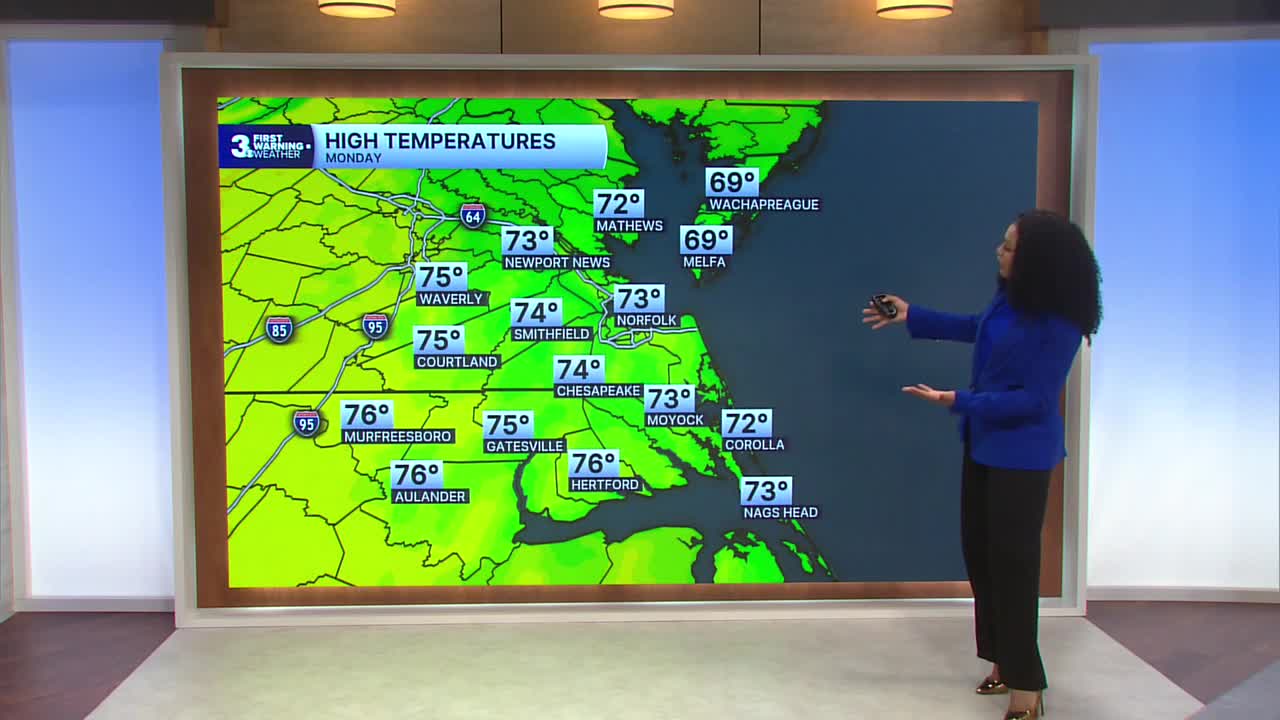
Monday will be partly cloudy to mostly sunny with highs in the low 70s. A few spotty showers will linger in the morning, but drier conditions move in during the afternoon.

Temperatures warm up to the mid 80s by Wednesday. An approaching cold front will bring rain chances Friday and Saturday and much cooler temperatures for the start of next week.

Let's connect on social media!
Meteorologist Derrah Getter:
For weather updates on Facebook: HERE
For weather updates on X: HERE
Follow me on Instagram: HERE
Check out the Interactive Radar on WTKR.com: Interactive Radar
