


Derrah Getter's First Warning Forecast
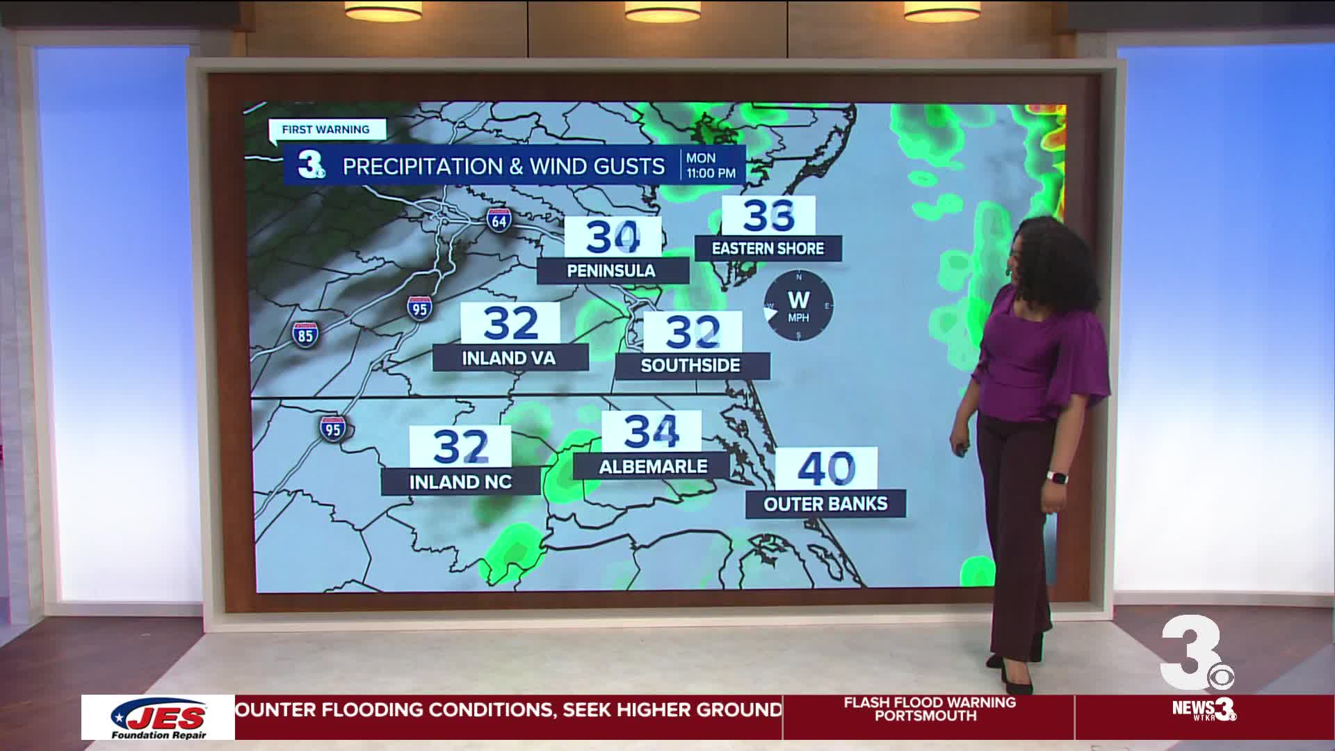
This evening, strong storms exit the region with an approaching cold front. Once the front passes, skies clear and temperatures quickly drop. Lows will be in the mid to upper 30s.

St. Patrick’s Day Tuesday will be cool and sunny. Highs will be in the 40s. We stay in the 40s on Wednesday. Temperatures quickly rebound back to the 70s by the end of the week. Spring officially starts on Friday.
Isolated storms will be possible on Sunday. Slightly cooler temperatures return next Monday.

Let's connect on social media!
Forecaster Derrah Getter:
For weather updates on Facebook: HERE
For weather updates on X: HERE
Follow me on Instagram: HERE
Check out the Interactive Radar on WTKR.com: Interactive Radar
