

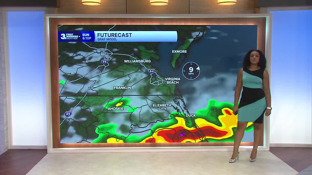


Derrah Getter's First Warning Forecast
A severe thunderstorm watch is in effect this evening until 9 pm.
Isolated showers and storms move through tonight ahead of an approaching cold front. Conditions dry out overnight with mostly cloudy skies. Lows will be in the upper 70s.

There will be a few breaks in the cloud cover Sunday morning, allowing for highs to warm up to the upper 80s and low 90s. Scattered showers and storms return Sunday afternoon and evening. Strong storms will be capable of producing damaging wind gusts and heavy downpours.

We ease into an unsettled pattern next week with daily chances for showers and storms. Hazy conditions from Canadian wildfire smoke return Monday. Strong storms will be possible on Wednesday. High temperatures throughout the week hover in the 80s and 90s.

2026 Atlantic Hurricane Season Update:
A broad surface low is forming over the Gulf. Gradual development is possible, and it could become a tropical depression as it moves NNW over the next few days.
Formation chance through 48 hours: Medium, 40%
Formation chance through 7 days: Medium, 50%

Let's connect on social media!
Forecaster Derrah Getter:
For weather updates on Facebook: HERE
For weather updates on X: HERE
Follow me on Instagram: HERE
Check out the Interactive Radar on WTKR.com: Interactive Radar
